
Kaitjaba Hill (Stamford Hill) Hike, Lincoln National Park
A spectacular circuit with 360 degree sea views
Glorious sea views
We would like to acknowledge the Barngarla people, the traditional owners of the land on which we walk, and pay our respects to their Elders past and present and extend that respect to other Aboriginal and Torres Strait Islander people who are present today.
Although this short walk is part of the Investigator Trail, it can easily be done as a day walk. As the highest landform in the park, Kaitjaba is visible throughout, and if you’re hiking anywhere in the park or have done our Investigator Trail Multiday Route, you’ll have seen it at a distance almost every day. The views from the top are stunning in every direction, which is no doubt why the walk is one of South Australia’s Great Short Walks.
The hike can be done as a simple 1.8km/1.2mi out and return on a smooth walking track with a few shallow steps, or as a longer 5.8km/3.6mi circuit, with the descent being narrower and more rough. We recommend the circuit unless you are unsteady on your feet.

The route and the elevation profile, just 190m gain and loss.
Walk with Us:

The track up is well made and smooth for easy walking

A seat for a rest!

Here’s a reference to the First Nations People! The first one we’ve seen anywhere in the park! Oh wait, look at the context. It’s really about Flinders, not them!! Oh dear.

Ah well…
the nicely-built track continues with steps through the steeper sections.
Even if you can’t get all the way to the top, the views begin surprisingly early:
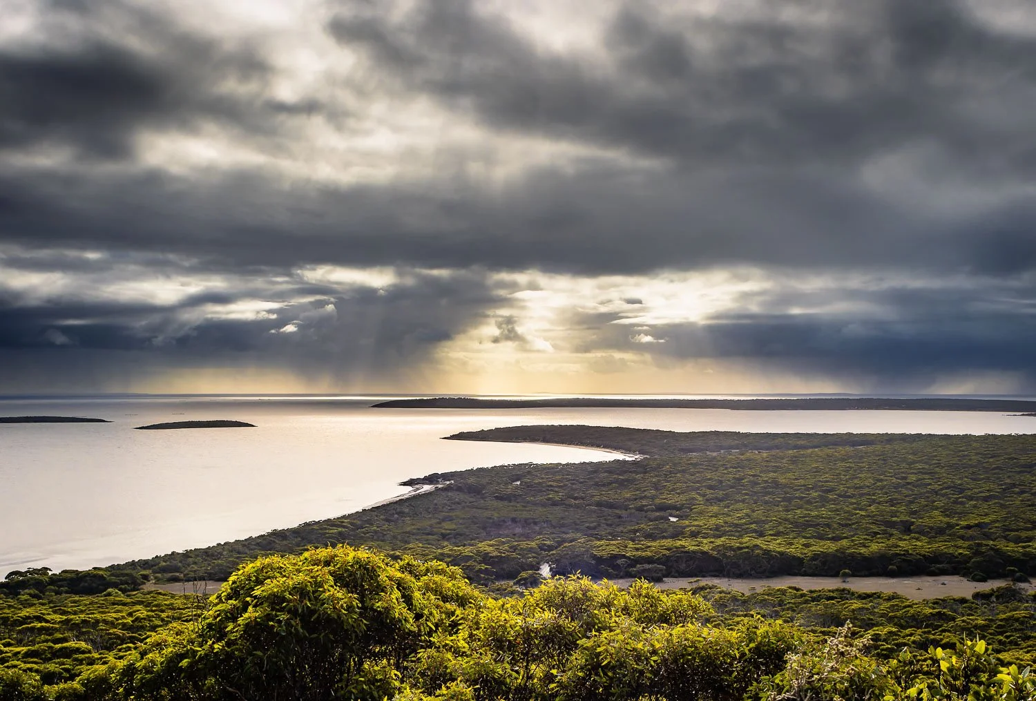
Early morning light through threatening clouds.
Just a little further to the top, you have glorious panoramic views from Taylors Landing to Surfleet Cove.
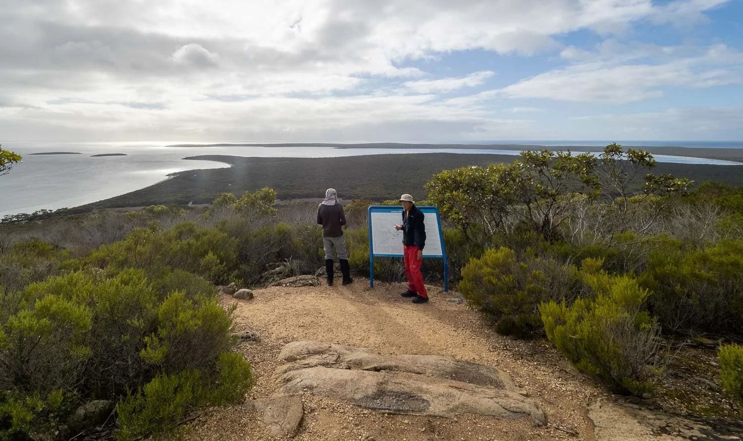
Stamford Lookout
Stunning views of the bay to the south
Enjoying the view, but the story presented along the track is really about Flinders’ search for water. From the sign: Flinders writes on February 25th 1802, “…A boat was sent to dig pits for water at the base of Stamford Hill, notwithstanding the many native huts about, no freshwater could be found.”
Doomed crewmen were sent for water, with a plaque commemorating them at Memory Cove. But the long search was finally successful near Tulka. Today, the western sections of the park have numerous freshwater bores that still supply Port Lincoln and other local towns.

Equally lovely views to the west. This is some of the coastline on the route from the Park Entrance to Sleaford Mere.

As you descend the circuit, Port Lincoln is clearly visible across the Bay

The Investigator Trail continues both southwest and northeast. Take the latter branch.

A pleasant walk past old wells, historic ruined huts, and appealing glimpses of the bay as you complete the circuit back to the carpark

Under lowering cloud, but the sea views continue. A delightful circuit hike, highly recommended!