
Day 5 - Taylor's Landing to Surfleet Cove: Overnight near Donnington Beach
We would like to acknowledge the Barngarla people, the traditional owners of the land on which we walk, and pay our respects to their Elders past and present and extend that respect to other Aboriginal and Torres Strait Islander people who are present today.
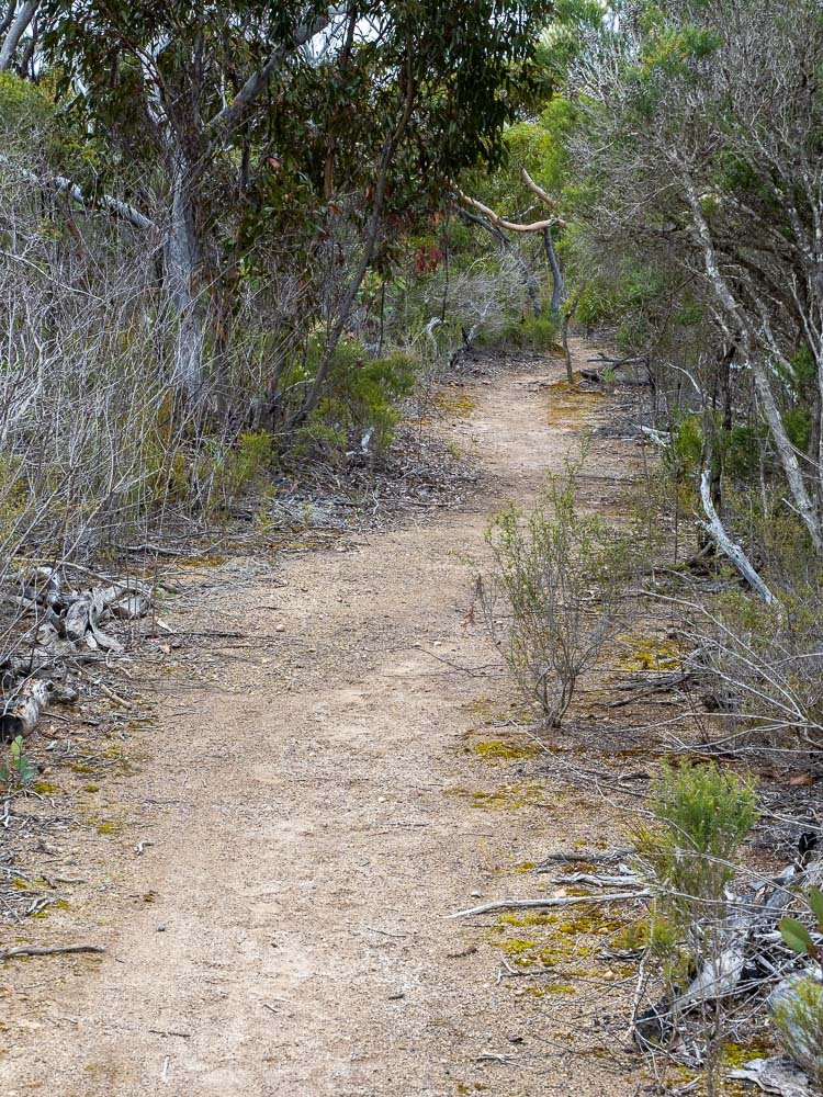
For 2km the track goes inland through varied vegetation, before returning to the eastern coast of Jussieu Peninsula for the remainder to its northernmost point, Cape Donnington.
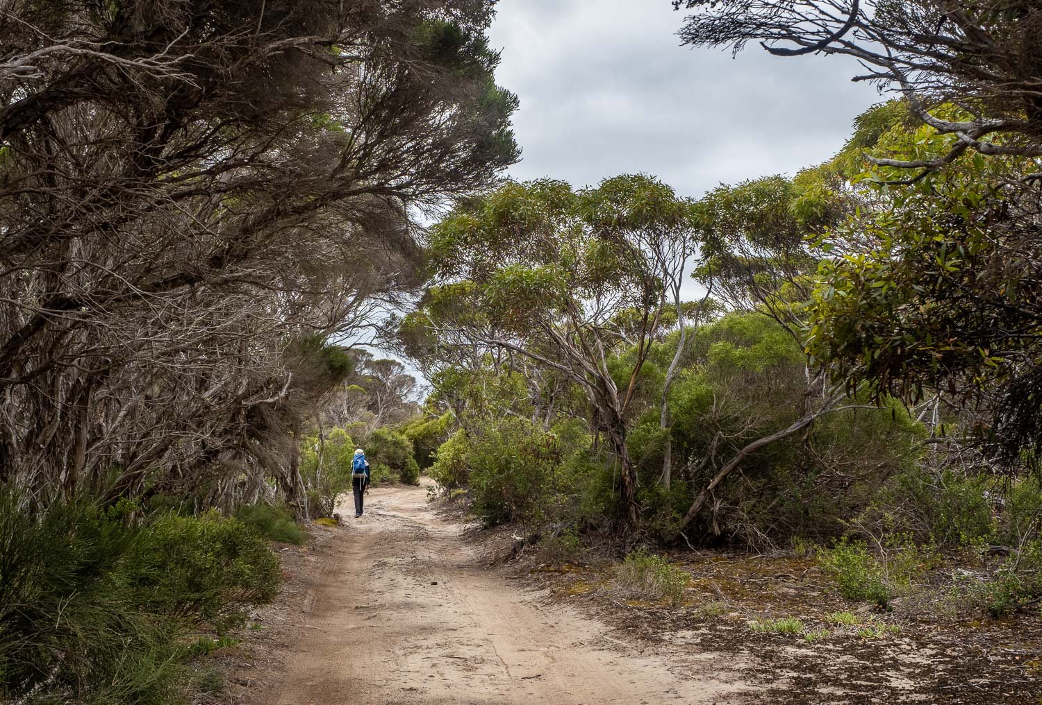
The swamp tea trees tower over the road.
Before the track goes inland.

Islands everywhere.

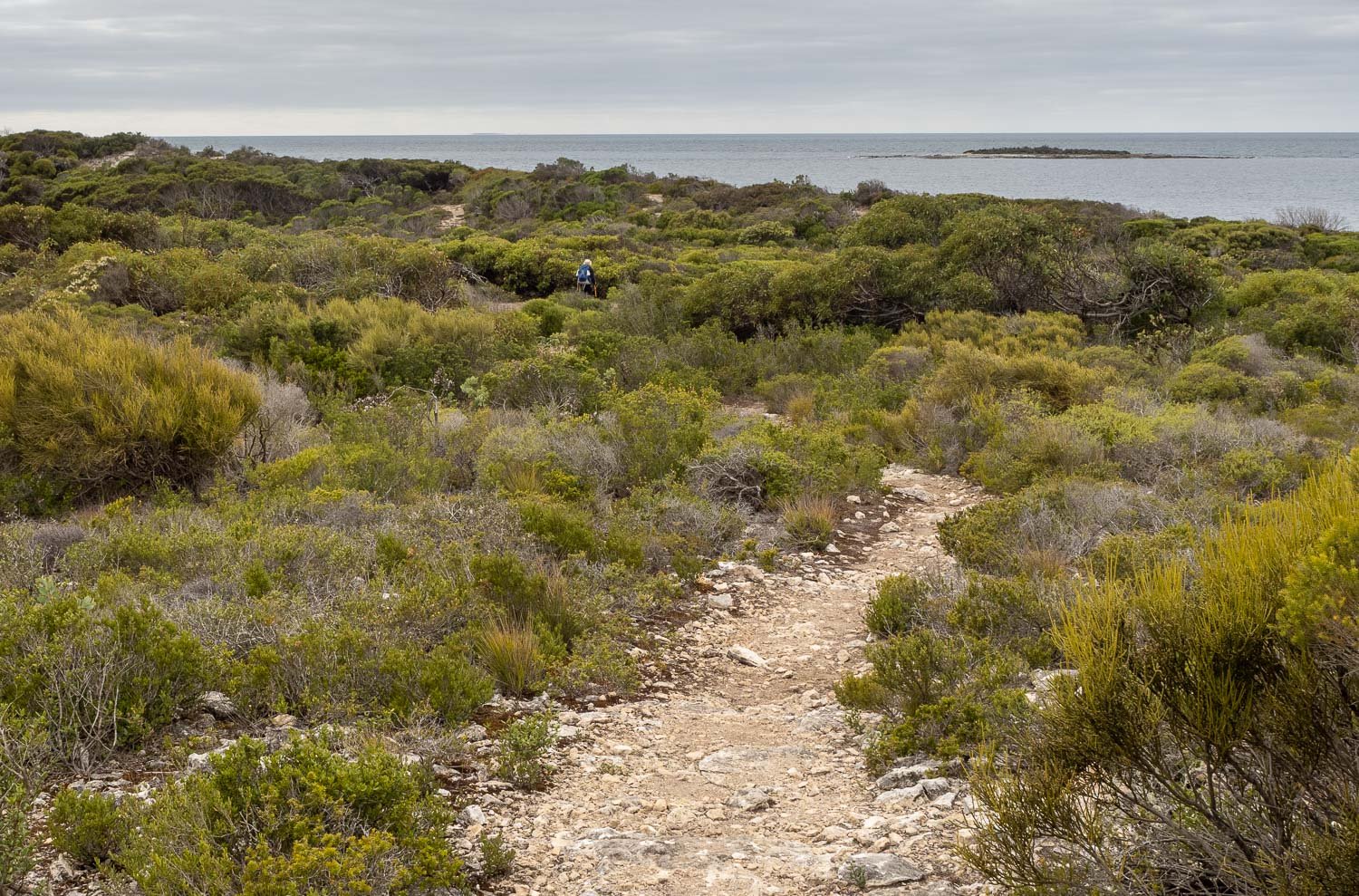
The vegetation varies enormously depending on how recently it has been burned.
This area is a high fire risk in summer.

Then we’re back on the coast ….

And soon along the beach once more …
I just can’t believe we have this beauty all to ourselves, every day. It is astonishing.

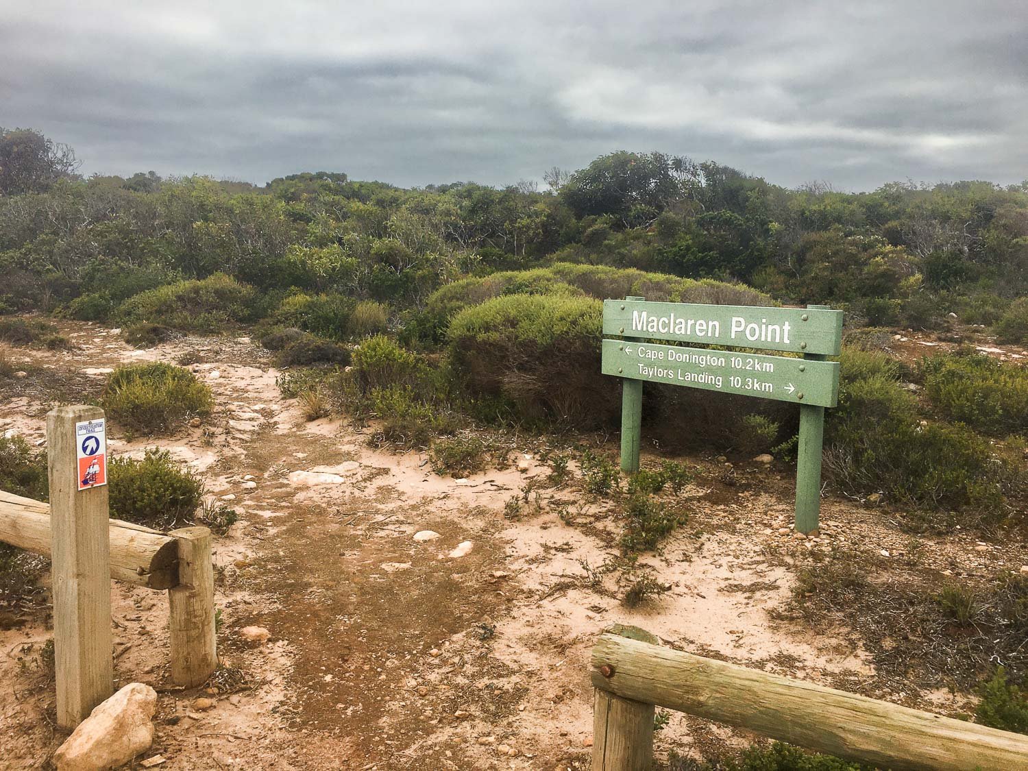
The “non existent” hiker camp north of MacLaren Point.
The coordinates are: 34 47 16.8 S 136 00 05.2 E
The smooth track is easy on the feet
- very different to yesterday’s limestone!

Intersections are well signposted, and the Investigator Trail markers are generally intuitively placed.
Birgit speeding ahead … again … we really should have given her more to carry … a lot more!

Soon we are no more than a dune from the sea.
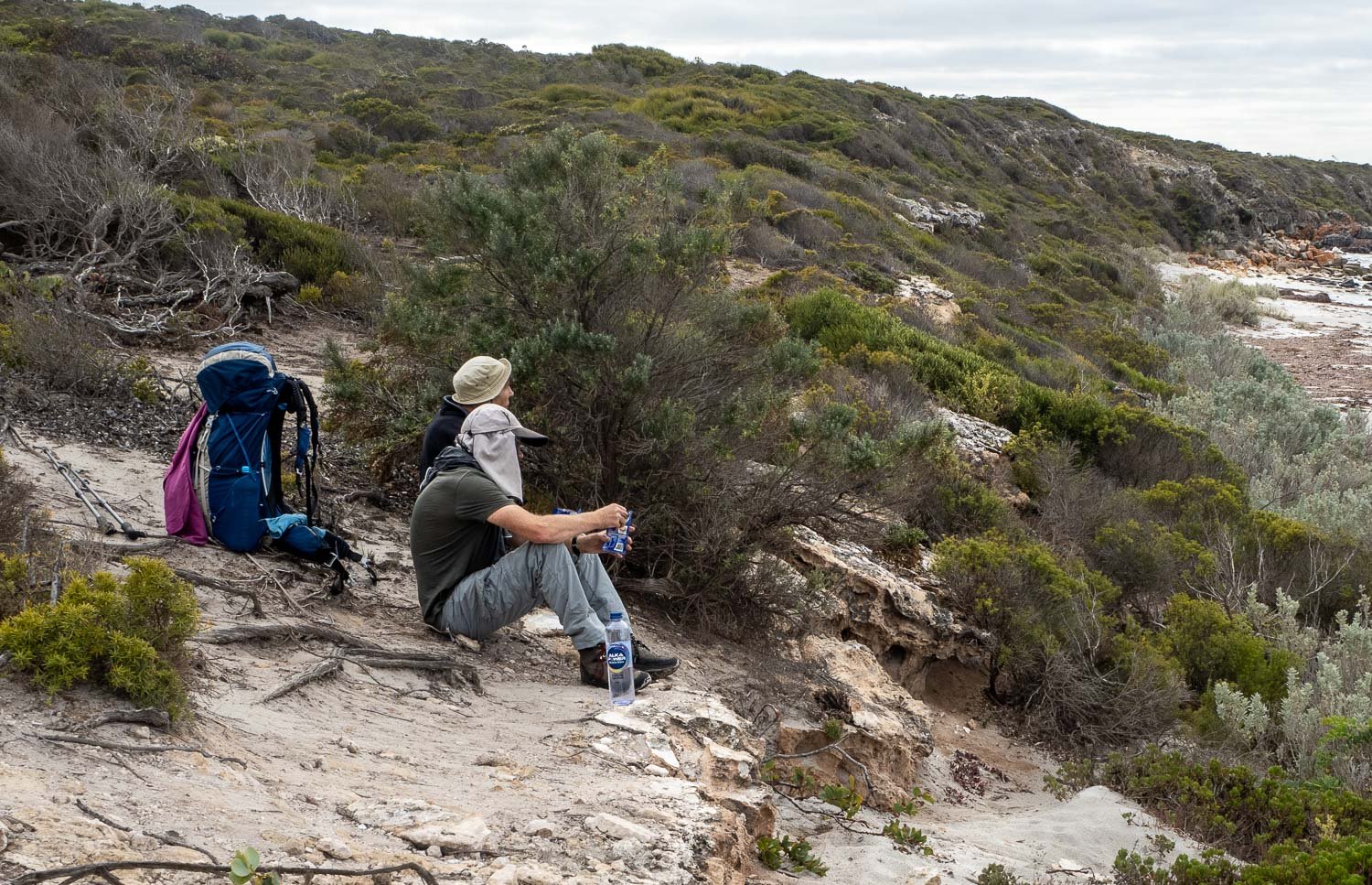
Lunch

with a pod of dolphins! They put on a wonderful show, corralling fish, with the young ones leaping and splashing.

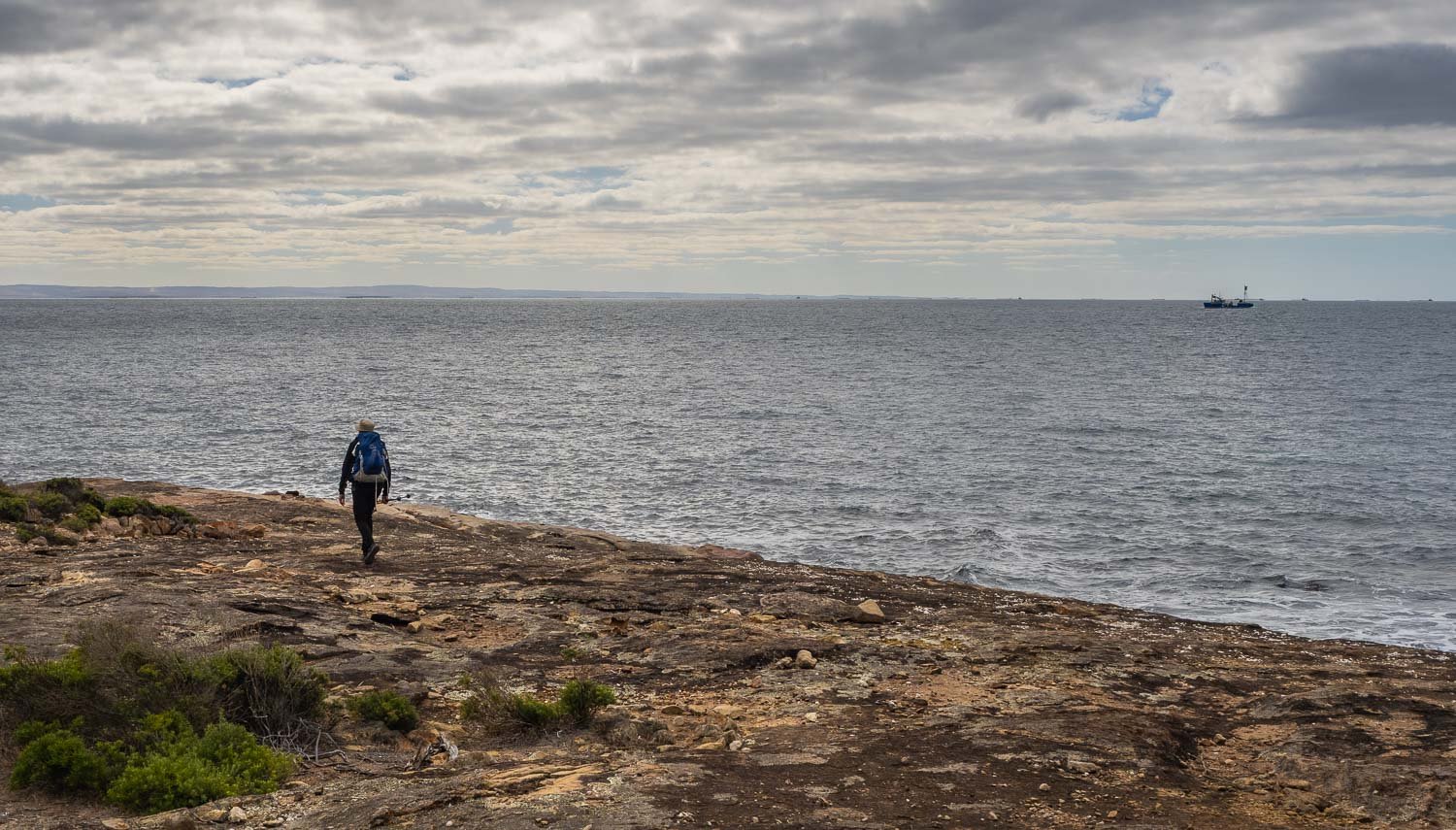
A fishing boat chugs past and a line of dozens of tuna cages come into view on the horizon. We are close to Port Lincoln, yet the lack of other hikers on the track make it feel much more isolated.
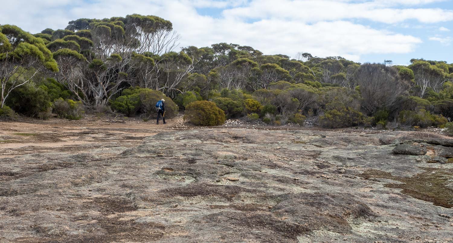
The trees are getting taller – this is older, unburned forest.

If you’d prefer there’s “Glamping” available at September Beach Campsite. We take a peek inside. It is pretty downmarket glamping, sort of like a uni student’s share living room.
Tempting as it was we pass September Beach campsite with its dozens of spots and dozen or so cars, vans and tents, and continue to our water drop just in from the lighthouse at the Cape. We’re after something a little less populated.

We set up camp in the bush near the light house where we’ve left some water

…before taking a walk to the lighthouse and point, soaking up the evening rays and Donnington Island, along with some feathery friends.

Potato, leek and artichoke soup with sourdough garlic croutons – yum!