Day 2: Vesturdalur- Ásbyrgi
Day 2 comprises 14 km (8.5 miles) with 100m (330ft) ascent and 150 m (490ft) descent. The walk map is here (p2).
This section has a fascinating history: “Eight thousand years ago, a volcano erupted directly underneath the river and glacial ice. This caused explosions and chaotic flooding which formed the canyons and the fascinating volcanic formations found in the area.”
Lots of astonishing lava formations today.
Geologist Bjorn S Harðarson explains: “Hljóðaklettar are elongated volcanic plugs arranged in the dominant fault trend of the area. Through time the Jökulsá river has removed the scoria from the craters leaving the crystalline rock pillars behind. They are part of a crater row which extends for about 3 km along the river. At the northern half, the craters are preserved, although somewhat eroded by the pounding of the river and overrun by a glacier from the east. Columnar basalt characterizes Hljóðaklettar, being arranged in tiers of irregularly curved formations.”
Kirkjan cave is incredible. It looks as if someone has folded dough.
A different contorted pillar around every bend!
Beech, bilberries and other plants have popped up in the sheltered spots.
We’re still in the Hljóðaklettar area. This section looks as if it has been built.
A great jumble of rocks all higgledy-piggledy
Rauðhólar
And onto the plain.
More lovely heathland: Pink Calluna, willow and birch.
Back to the cliff edge. My, what a walk this is!
Puffball!
There is so much to see, from the tiny to the vast.
More geology. Iceland must be as exciting for geologists as it is for photographers and hikers!
Lots of lovely pools, splashes of silver across the landscape.
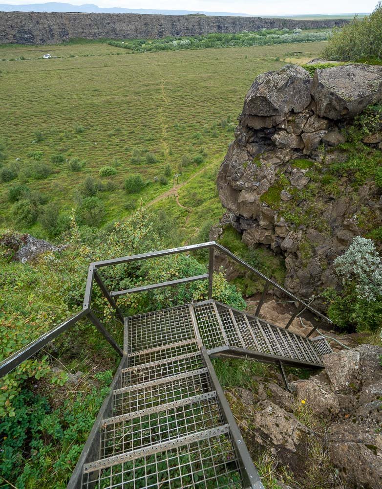
And at last you reach the very edge of Ásbyrgi Canyon with its sheer 100m cliffs. Wow. The shape is very clear, with the raised Eyjan forming the frog of the horse shoe. Nearly all the tourists are down there, few have ventured up here.
Now, down into the Canyon. A shortcut leads across to the campground.
And finally a short hop to the car and to cosy accommodation for the night at Nordic Natura Cabins.
After our nine day hike in the Icelandic central highlands, I didn’t think it was possible to see as much variety in a short distance… but we were proven wrong by the Jökulsárhlaup. It is an extraordinary and exceptional hikew: highly recommended!


