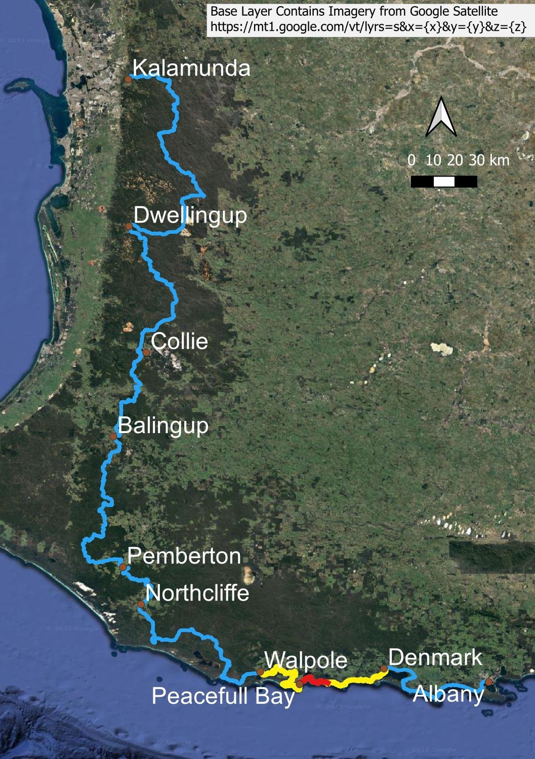
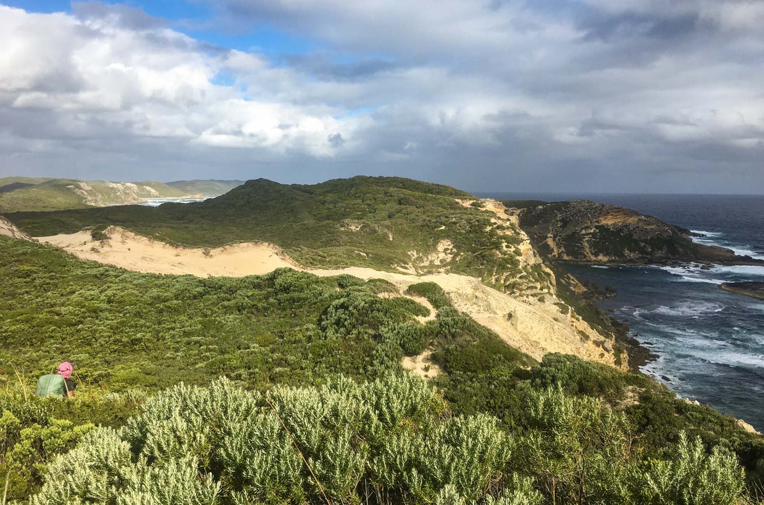
Day 63: Peaceful Bay to Boat Harbour Feb 18 Written By Slower Hiking We acknowledge the Nyoongar People as the traditional custodians of the land and waters along the Bibbulmun Track Today comprises coastal scrub, inland views, a fun paddle across an inlet and plenty of snakes, like this very chilled dugite! Peaceful Bay to Boat Harbour Overview Map Use Bibbulmun Track Foundation Map 7: Walpole Official route in the solid red line is 23 km; the deviations that we took from this are shown as a dashed red line. The first deviation avoided an inundated section of track as recommended by a south to north hiker we met at Peaceful Bay, and the second (an official Bibbulmun Track alternate route) avoided an exposed section of beach in gale force winds. Overall, our alternate route was longer, 24 km. The elevation profile is for the route we took. Many people rate this as one of the hardest of the entire track; it ranked in Geoff’s top five. We head out of town at sparrowfart. Gale force winds are again forecast for today and there is a 300m estuary crossing in a canoe. We want to reach the estuary very early, before the stronger wind at altitude mixes down to ground level and we recommend that you do the same if strong winds are forecast. A highly experienced paddling guide we meet later tells us that, even with his skill level, he struggled to make it across on a windy day. Lots of this pretty but weedy Pelargonium along the roadsides and inland. It’s delightful walking. A new orchid, the Fragrant Leek (Prasophyllum odoratissimum)! It’s always worth taking a sniff of unidentified orchids, because scent can be diagnostic in some species. First glimpses of Irwin Inlet. The mouth of Irwin Inlet. You cross at that narrow section in the distance, just this side of the spit before the inlet opens out again. Many wildflowers. I haven’t been able to identify this one yet, other than it’s in the mint or Lamiaceae family (the square stems are a giveaway). Stylidium adnatum At the boat shed! Paddles, life vests and just one canoe in the shed. We will need to make at least two trips so we can tow back an extra canoe. Some people tow back several at a time but in breezy conditions this won’t work. Fortunately, it’s still calm at the moment. Here is the procedure. If you think conditions will be too bad for you to tow back a canoe, and there is only one in the shed, then you musn’t cross in the first place because you will strand following hikers on that side. We both got into one canoe because our packs are lightweight. Look how flat the water still is! Joy! Because paddling in wind is like riding a bike in wind: not much fun. See, it’s fun! Canoes chosen for crossings like this are very stable but therefore not particularly streamlined or fast. We cross and tow back a canoe. Then another one. The wind is just starting to pick up when we tow back a third: we knew Pat, Helen and an inexperienced solo hiker were following. The latter had been apprehensive about the crossing and, this way, she would not need to tow a canoe back. Besides, we were having a great time! Pat and Helen arrive back at the western shore just as we set off inland from the eastern side. A new orchid, the White Mignonette (Microtis alba). This is a fire responsive orchid and it is scattered through a recently burned area, the white flowers stark against the blackened landscape. Orchid enthusiasts need never be disappointed when hiking through areas that depress others, because burns so often create environments that produce flowering specimens. Due to their asymmetric shape, lobelias (here, the Slender Lobelia, L. tenuior) are often mistaken for orchids, but they lack the distinctive modified petal known as a labellum. The hinterland of Quarram Nature Reserve looks as if it has been cleared and grazed; we see huge mobs of kangaroos that appreciate open country like this. The populations of red and grey kangaroos throughout Australia are two of few species that have increased since the arrival of European pastoralists and the installation of numerous watering points throughout the country. This detour is not only longer than the beach option but has a lot more elevation gain and loss. Nevertheless, it’s delightful walking and botanists will likely prefer this detour. View back west. You can see the wildflowers sprinkled around Geoff’s feet. A snack break. Every time we stop, we automatically check the map. Onto little Quarram beach for a short distance before ducking inland again. Sand firmness varies greatly between beaches but these haven’t been too bad. On long stretches, I generally walk in Geoff’s footsteps to be kind to tendon souvenirs from previous hikes. A very sick, sad, skinny tiger snake. It’s still alive but not, I expect, for long. This native bush rat (Rattus fuscipes) in the middle of the path may well have died from snakebite, with the snake disturbed before being able to eat it. You can distinguish native rats from introduced black rats (R. rattus) by the length of their tails: native rats have tails that are shorter than their bodies. A big climb. A last push to the point - nearly there! Boat Harbour Hut will be just the other side of that point. There’s the hut, tucked amongst the heath. It looks sheltered, doesn’t it? But the campsites are not. This is the windiest pitch we experience on the Bibbulmun. We need to double peg the windward side. And you can tell the hut is actually windy by the screened annexe left back. We meet young Rusty, an 18 year old lad hiking E2E. He is an impressive young man, not least because he is carrying a hardback Tim Winton novel! His bugnet is a twin Sea To Summit one; there’s also an ultralight twin nano version at just 137g. Next Day Lightweight Slept Systems for Couples Walpole to Denmark Contents Bibbulmun Track Contents Slower Hiking https://Slowerhiking.com