
Day 1 - Park Entrance to Sleaford Mere: Overnight near Pillies Hut
We would like to acknowledge the Barngarla people, the traditional owners of the land on which we walk, and pay our respects to their Elders past and present and extend that respect to other Aboriginal and Torres Strait Islander people who are present today.
Our first day involved a gentle walk along the sheltered Proper Bay coastline, before going inland through low woodland past a salt lake, and finishing atop a rise near Pillie Hut with restful views.

A rare three on the track with our friend Birgit at the Park Entrance start of the Trail.
Interpretive signs – there was a complete and astonishing absence of references to Traditional Owners and culture. That’s right: nothing. Not just at the Park entrance, but everywhere else (with one exception that was a passing reference in the context of how they were relevant to Matthew Flinders). All place names within the entire park were European, but for two… on our map. Gobsmacking!


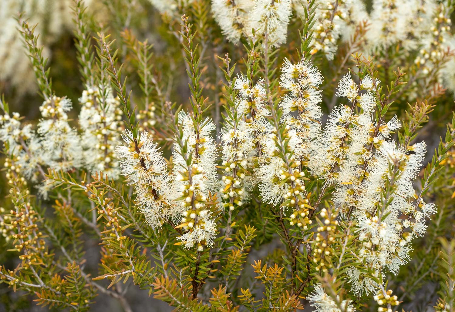
Few things are in flower but Melaleuca was in cheerful abundance.

Track surfaces are smooth and flat – pleasant walking.
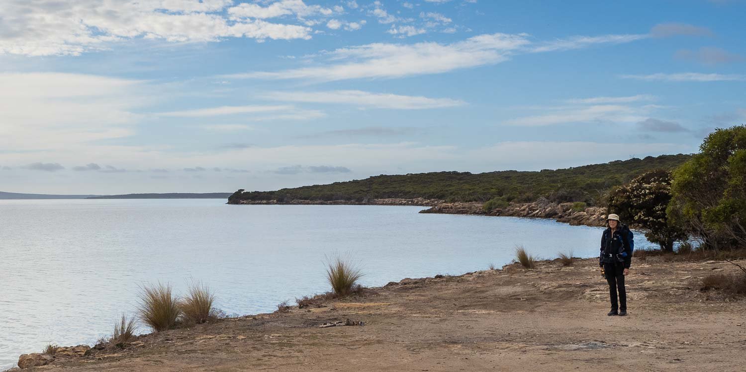
The trail initially follows the sheltered coast, with glimpses of Port Lincoln across Proper Bay.

We pass several lovely campsites scattered along the shore. All are empty in this off-season. In fact, on the entire trail, over seven days, we see only two other couples.

Correa reflexa

We stop for a snack just before the campsites near Horse Rock. It is delightful sitting on the limestone at the water’s edge, with views to Port Lincoln.

Heading inland towards Pillie Lake. I’m a little more loaded than usual, as we are carrying two tents and extra water, but the walking is easy.

Cassytha pubescens vine,
also endearingly known as Snotty Gobble

Lunch stop at Pillie Lake, which is dry but still lovely.
We meet one of the Traditional Owners who tells us about an important nearby cultural/geological artifact. It will be the only First Nations cultural reference we get on the entire Trail.

An orchid! Parson’s bands,
Eriochilus cucullatus.

Sawfly larvae
They spit a yellow acidic irritant when disturbed.

Correa pulchella

Along Pillie Hut Track.

To our campsite atop a hill with views.
We have a water drop here. The Parks people could not guarantee water anywhere, including at Pillie Hut, and it has been very dry. We later find that every tank other than at Clark’s Hut is full.

After setting up the tents, we walk to Pillie Hut.
Of course the tank is full, and there is even a picnic table!

Back to camp for dinner: roo bolognese