Lake Tahune to Frenchman’s Cap Summit return
Rugged terrain, a daisy-sprinkled summit and 360 degree views to the coast
Today’s magnificent views begin long before the summit.
We acknowledge and respect Tasmanian Aboriginal peoples as the State's first peoples and recognise them as the traditional owners and continuing custodians of the land and waters of this island, lutruwita (Tasmania) on which we work, learn and live.
Today’s hike of just 2.8km (1.75 miles) return is literally the high point of the trail. You climb steeply through rainforest for only 0.25km (0.15 miles) and then you are out on the peak’s blindingly white quartzite scree. The trail zigzags up the face, offering ever-expanding views the entire way. It is a spectacular climax to the walk and explains why this is the multiday hike that so many Tasmanian locals rate as their favourite.
(Base Layer Contains Imagery from Google Satellite https://mt1.google.com/vt/lyrs=s&x={x}&y={y}&z={z} Track & elevation recorded on Garmin Fenix 6)
Map and elevation chart for the scramble to the summit
Many hikers complete the out and return from the hut to the summit in a short morning or afternoon, but we strongly recommend that slower hikers take the full day to enjoy the area. You have an elevation gain of 450 metres (1500 feet), so you can see the climb is steep.
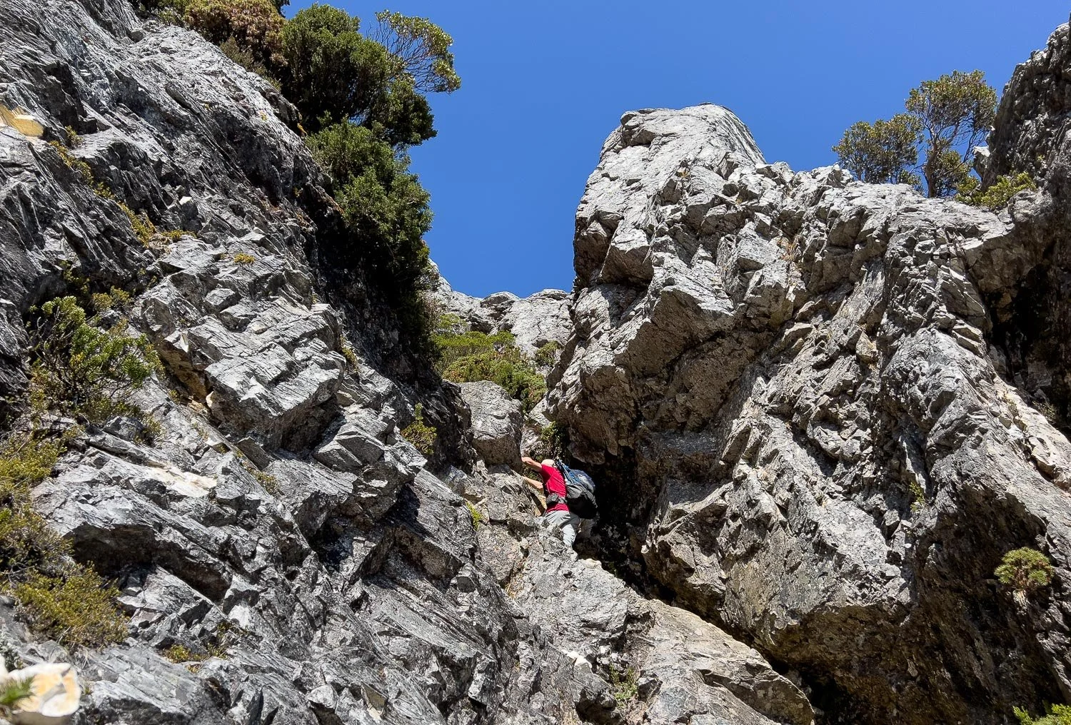
This day also has the most challenging scrambling of the trail. When you reach the branch leading to the summit, you’re immediately faced with a rock wall; you’ll need to use your hands multiple times from now on and many hikers stash their poles. At another point, you squeeze under an overhang; coming down is trickier than going up. Having said that, it is doable even for non-climbers like me; if you’ve found the preceding day comfortable, you should be okay today as well. Stop and assess at each tricky point: can I climb this and, more importantly, can I descend it? Hike safely with great decisions. Today’s views are not reserved for the summit, so any distance you climb offers marvellous vistas. As always, we have included many images of the trail to give you an idea of what to expect.
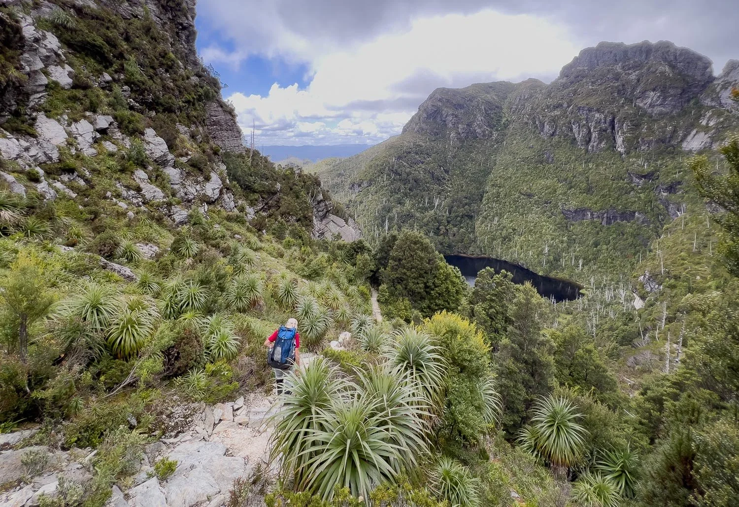
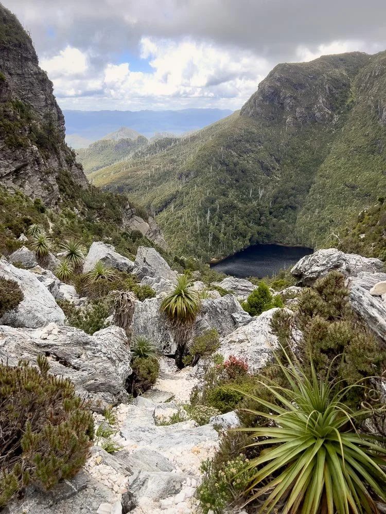
And the views every step of the way are spectacular… you’ve only just left the hut and, looking back, this is the view!
What if the peak is shrouded in mist? You’ll have no views. However, a lower side track heading northwest along and up past Lion’s Head (Irenabyss track) can offer terrific views even when the Cap is in cloud. If you have a full day, you can also divert here after summiting Frenchman’s Cap: you’ll see lakes that aren’t visible from the peak. The Irenabyass track has some very challenging scrambles and climbing, but not in the first section so it’s worth a look if you have time.
Our recommendation for slower hikers is to remain flexible depending on the weather and how you are feeling. Give yourself a full day to summit and/or hike a short distance along Lion’s Head or some of the other side trips (Clytemnestra is more demanding, see John Chapman’s book for details).
In the mountains, cloud often starts building with thermic activity mid- to late morning, so an early start may provide clear skies before it socks in. If you also plan to walk a short distance along Lion’s Head (along a short section of the Irenabyss track), summit Frenchman’s Cap first, then do the lower Lion’s Head spur on the way back as it will be clear for longer at lower elevations.
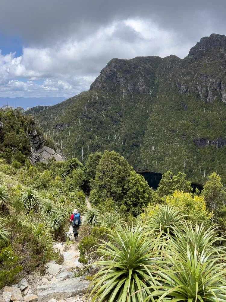
A steep climb out from the hut with blue skies, and almost immediately you have glimpses of what is to come.
Tasmanian Pepperberry (Tasmannia lanceolata). The berries are somewhat overpowering, but when combined with honey an infusion of the leaves makes delicious icecream!
The original eroded trail climbs straight up the valley to the right through the scree, but the new route zigzags up on the left.
Alpine Billy Button (Craspedia macrocephala)
The smallest eucalypt species in existence, Varnished Gum (E. vernicosa) grows to a maximum of just over one metre
The track switches back up the face…
… growing ever steeper.
At certain spots, it seems you will need to climb a vertical wall, but the track continues sidling its way up.
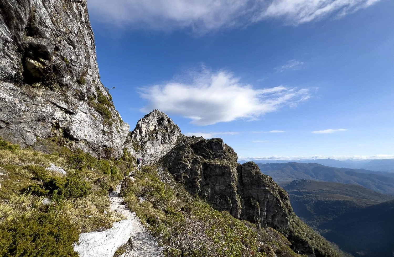
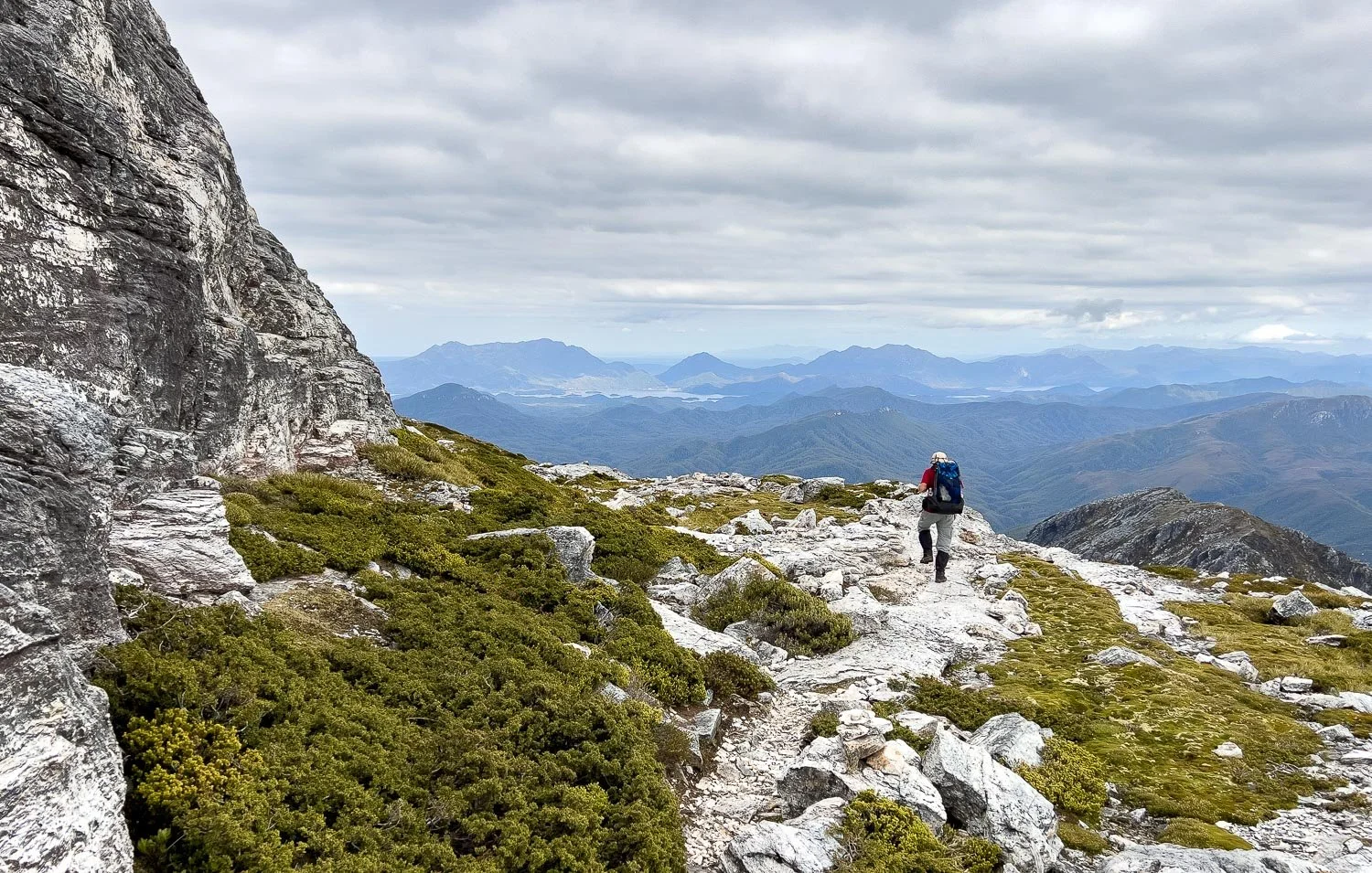
Periodically you follow contouring shelves, and from these you have marvellous views.
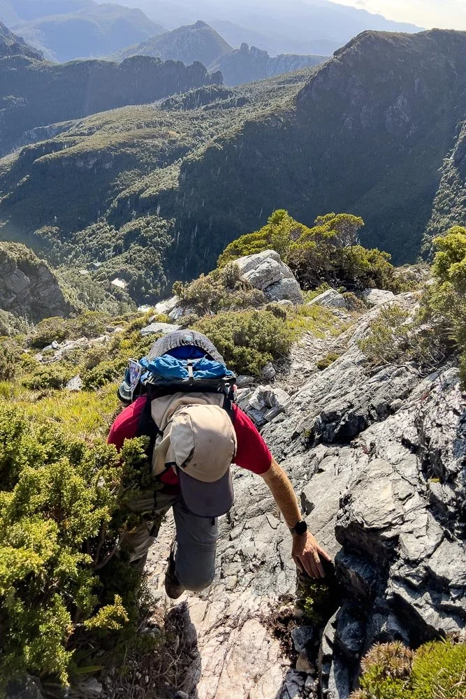
More scrambling.
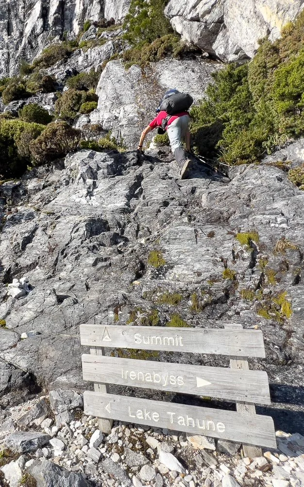
Here is where the track branches; remember this spot. You go straight up behind the sign to the summit. If this is too daunting, take the path towards Irenabyss. You’ll be able to follow it for at least several hundred metres for new views, and turn back at any point you wish.
This was the trickiest bit. We’d been told about it but didn’t realise until after we’d passed it, so have a go, remembering you’ll have to come down as well. John Chapman describes this track as easy scrambling but it’s all relative, isn’t it!
A longish reach up over the rock above and to the left of Geoff. You can see you really wouldn’t want to hurry here! It’s not super technical — I could do it! — but you need to think ahead as to where you’ll put your feet, especially on the way down.
Ah, but look at those views growing ever wider. The little overhang is lower left.
It is magnificent.
The track to Irenabyss, the one that branched off earlier, climbs Lion’s Head and then follows the spine. If Frenchman’s Cap is in cloud, this lower track is a good alternative, or divert on your way back after summitting the cap. Follow it for as long as you feel comfortable, remembering that pictures like this always make tracks look more daunting and exposed than they actually are.
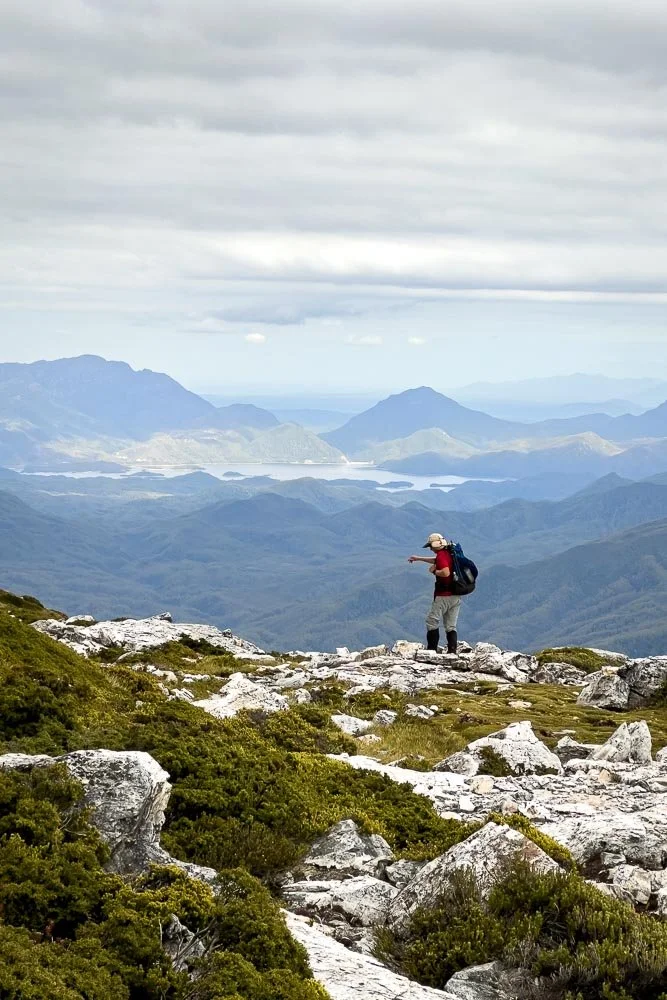
Wow. We can already see all the way to Lake Burbury near Queenstown!
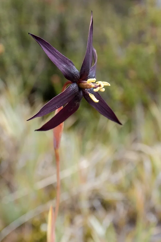
Tasmanian Purple Star (Isophysis tasmanica). I’d been hoping to see this iris right through the South Coast Track, to no avail… and here it is, still in bloom! Yay!
Christmas bells (Blandfordia punicea). Different plants as you climb past previous altitudes.
You’re still far from the summit but the views are already fantastic.
Lake Burbury and Mt Jukes behind.
As you approach the summit, the entire dome is covered in daisies (Xerochrysum milliganii). It is spectacular.
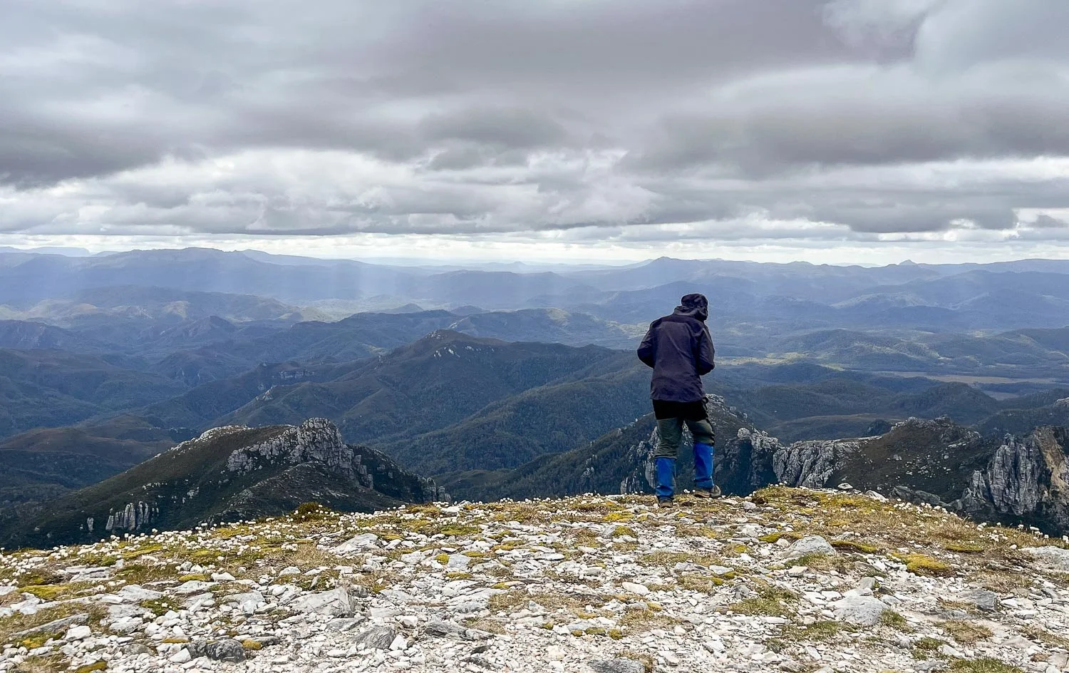
Glorious 360 degree views, but possibly not for much longer: the cloud is already building from the morning’s blue skies.
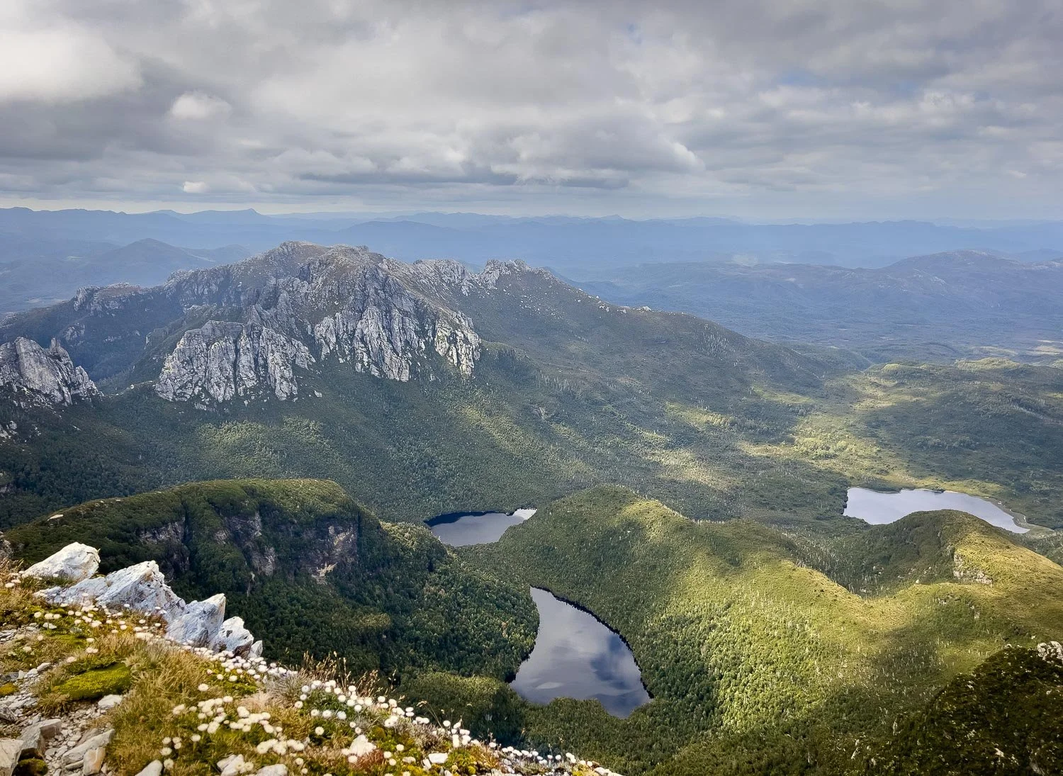
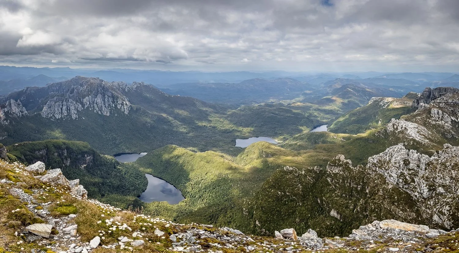
Barron Pass left, Lake Cecily foreground, with Lake Gertrude behind and Lake Millicent right.
A wider view becoming increasingly hazy as the cloud lowers, with Clytemnestra far right. With steep gullies and scrambling, the route — not track — to this peak was too demanding for us to consider, but many faster hikers easily manage the extended out and return on the same day (details in John Chapman’s book).
We spend an hour on the summit with views to Macquarie Harbour. It is cold and breezy so Geoff eats second breakfast huddled behind a rock wall. We also have phone reception here and get a weather update. Yes, rain is coming!
Marvellous views north, with Lake Nancy tucked behind Lion’s Head, and the peaks of Cradle Mountain-Lake St Clair National Park and the Walls of Jerusalem on the horizon.
You really do have completely different perspectives on the way down.
One last vista westwards…
… just in time: Frenchman’s Cap is in cloud.
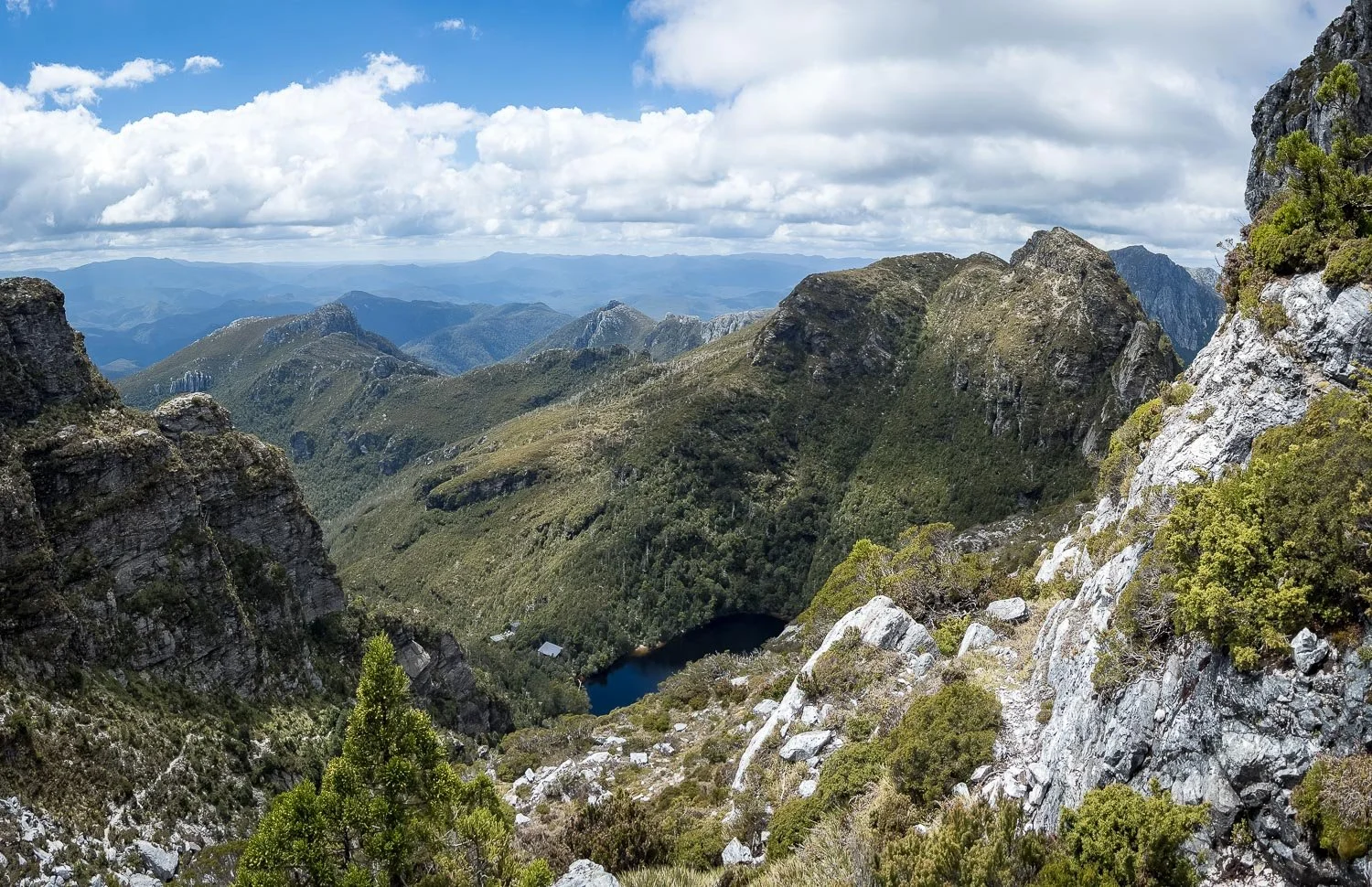
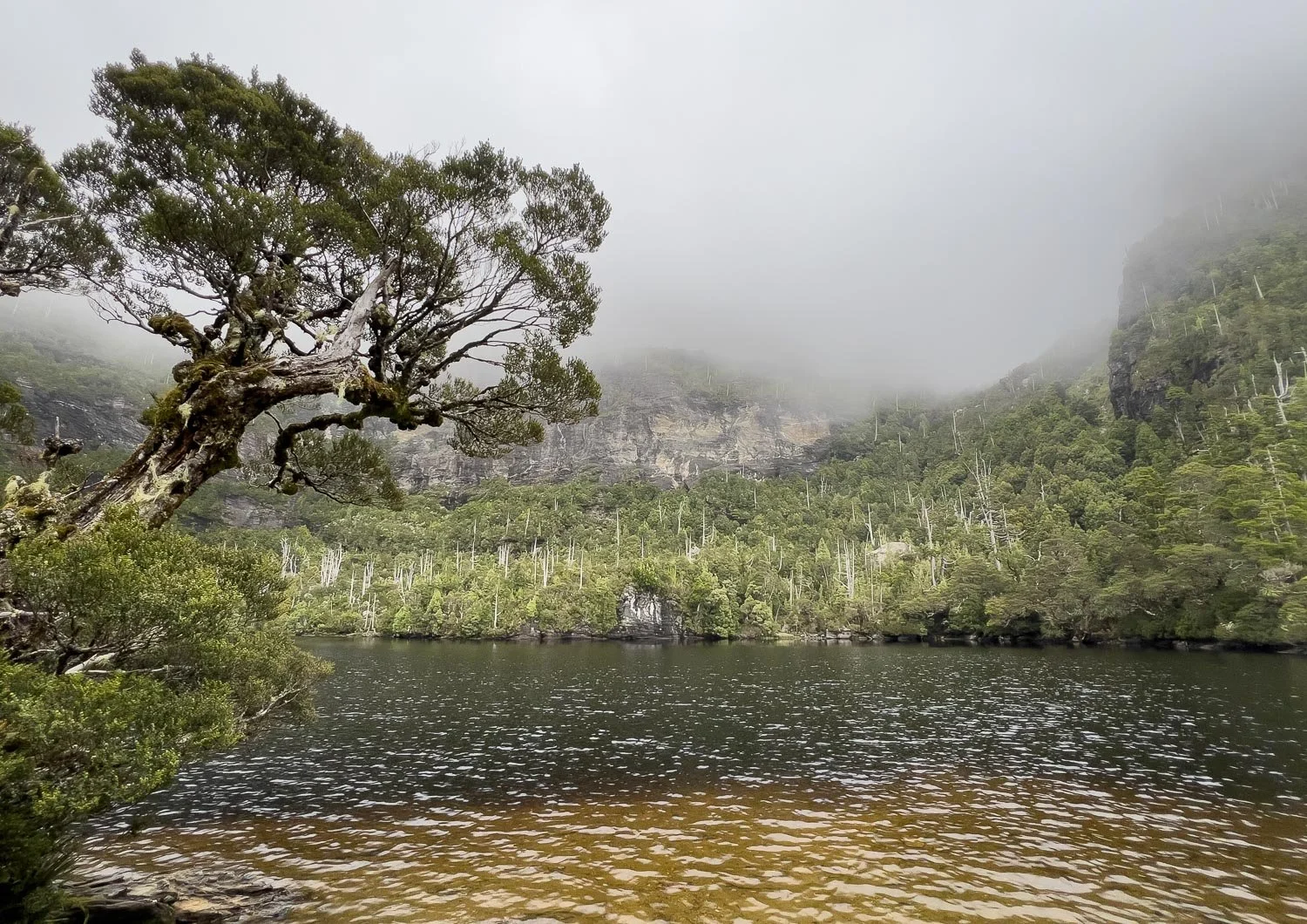
It’s still clear to the east, however, and we’re treated to more views of the hut and Lake Tahune and its little swimming beach.
Down, down, down…
… and it is as beautiful as the summit.
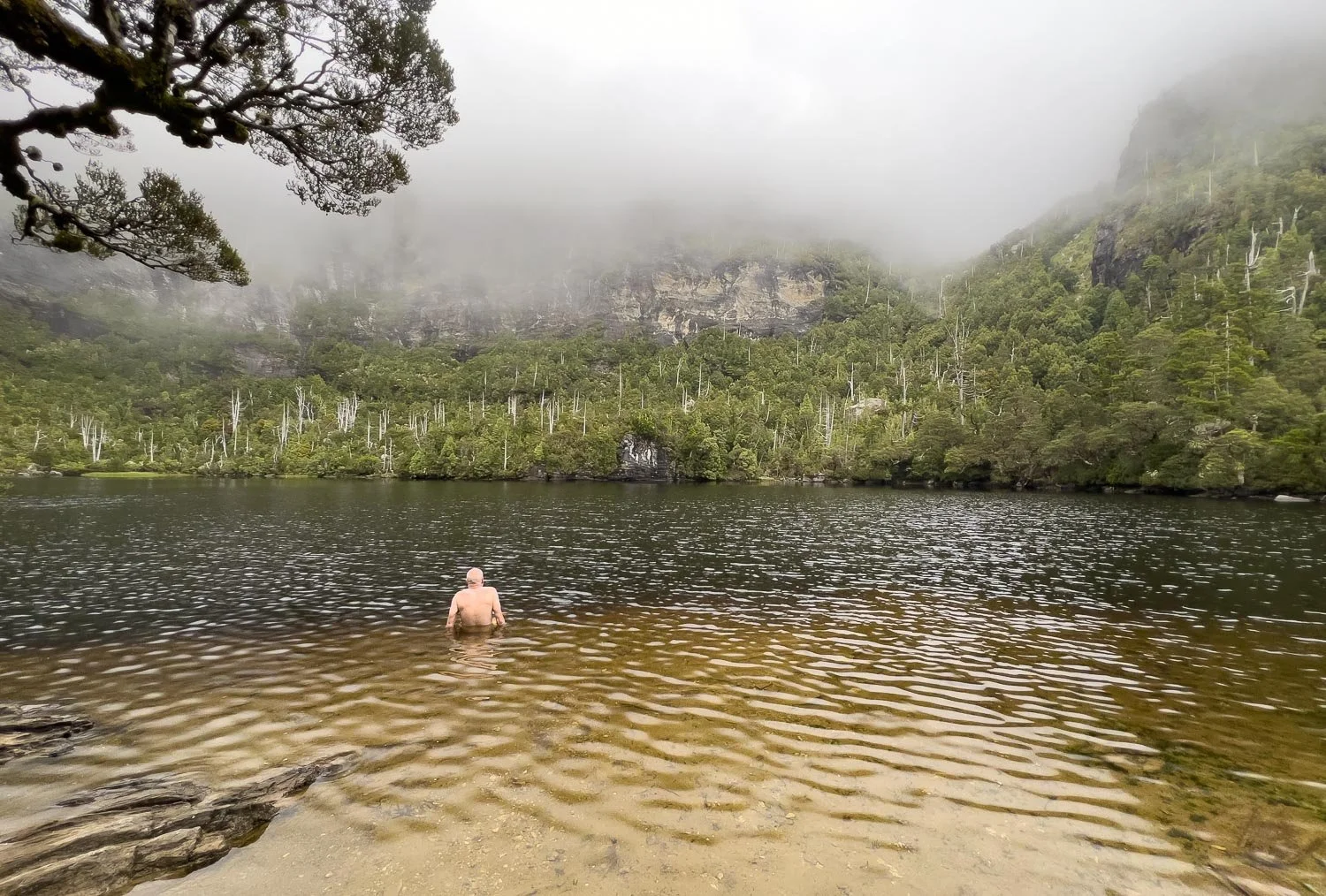
Time for a quick dip, before the lowering cloud completely swallows the lake. Icy but refreshing!
And back into the warm hut for dinner, our delicious laksa recipe. What a day it has been!
The Frenchman’s Cap Track is guaranteed to create banner memories, those that stay with you for a lifetime. Yes, it’s the most demanding hut-to-hut hike in Tasmania but, with such variety and views not just on the summit but every day, the rewards are rich. With a conservative itinerary, slower hikers will love every minute.


