Lake Vera to Lake Tahune
Pretty cascades, fun scrambles and ladders, plus breathtaking alpine vistas
Geoff at the top of Barron Pass with its gobsmacking views over lakes Gertrude, Magdalene and Millicent.
We acknowledge and respect Tasmanian Aboriginal peoples as the State's first peoples and recognise them as the traditional owners and continuing custodians of the land and waters of this island, lutruwita (Tasmania) on which we work, learn and live.
Today’s walk of around 6.6km is nothing short of extraordinary. You begin by following the shore of Lake Vera, passing numerous small cascades and tributaries berfore a long, steep rainforest climb beside looming cliffs brings you towards Barron Pass. When you reach it — suddenly — you are immediately in a different world as alpine vistas open up around you. In clear weather, you’ll definitely want to pause here to soak up the glorious views. For slower hikers and in mild weather it’s a great spot for lunch and a rest because, although you are at 950m, you still have another 180m more cumulative climbing to reach Tahune at 980m.
Base Layer Contains Imagery from Google Satellite https://mt1.google.com/vt/lyrs=s&x={x}&y={y}&z={z}. Track & elevation recorded on Garmin Fenix 6
Leaving Barron Pass you’ll descend, skirting the western scree slopes of Sharland’s Peak, before climbing again through Artichoke Valley. You’ll have grand views to the south and north through this section. When you climb through Artichoke Valley you’ll reach a shelf with yet more views northward across the Franklin River Valley, followed by a last steep descent down wooden steps and rock to Tahune Hut, in itself a marvel of modern engineering.
You have several potential side trips here, too; slower hikers may prefer to do them on the return hike when they are travelling primarily downhill. Davern’s Cavern is reached via a very sparsely cairned route. In parts the route/track is extremely overgrown. We got to within twenty or thirty metres of the cavern but were running out of time, and the last steep short scramble was a little too daunting for me with time constraints. It is nevertheless a delightful detour with its spectacular display of swirled igneous rock on Sharland Peak’s northern face.
Heading back towards Sharland’s Peak from Davern’s Cavern. That low notch on the left is where you cross; the main track is about fifty metres on the other side.
How to Make Today Easier
Although the distance is short, slower hikers will need much of the day to reach Tahune because of the nature of the trail and the cumulative elevation gain. There are no intermediate camping options along the track between Lake Vera Hut and Lake Tahune; alpine clearings are highly sensitive to compaction and trampling so please don’t pitch on them.
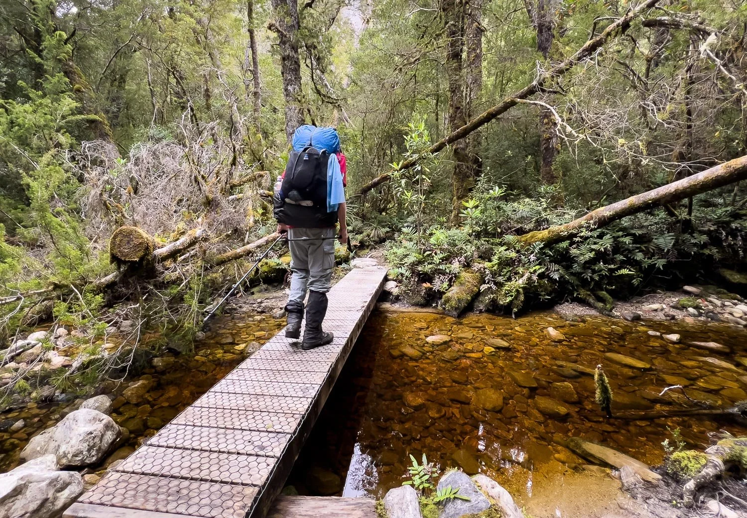
Take a good look at the photos in this post for a clear idea of the terrain, and whether it is within your ability envelope. The section along the shore of Lake Vera is not as the topo map implies. It’s no gentle stroll along level ground, but a continuous series of two to ten metre ups and downs over rock, ladders and tree roots. Those who use Vitamin I (Ibuprofen) for knees may wish to take a prophylactic dose the night before and in the morning!
Start early and you will be fine. However, even if you think you can only make it to Barron’s Pass, it is worth the hike because the views are just that good: we met a family who went to the pass and returned to Lake Vera as a day walk with day packs.
Walk with Us:
Mountain reflections on Lake Vera. Much of the lake is thickly fringed with reeds, but there are areas where people have waded through for a swim. Close to the hut is a small swimming hole on a tributary, less picturesque but more convenient for a dip. For those who prefer seclusion, you’ll also pass several bare wild campsites five to ten minutes from the hut (see Planning and Tips).
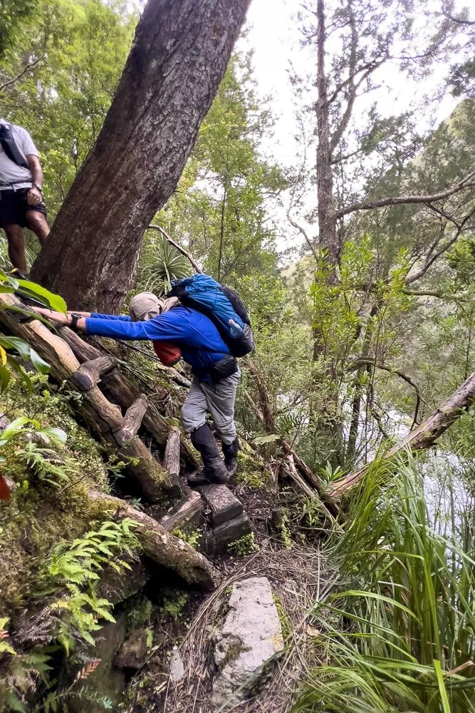
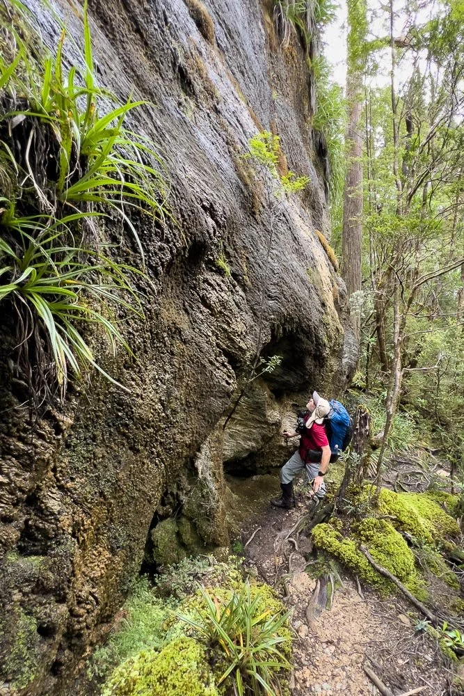
The man top left has already summited Frenchman’s Cap and is on his way back to the trailhead… all in one day! Good on him, but it is not a competition. We slower hikers have every right to hike at our own speed, and it will be slow. You can see the lake to the right behind Geoff. This is not a wide sandy shore but a steep forested slope. Plenty of fun ladders like this…
… and rocky steep track like this.
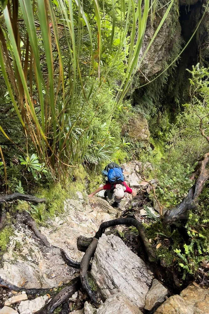
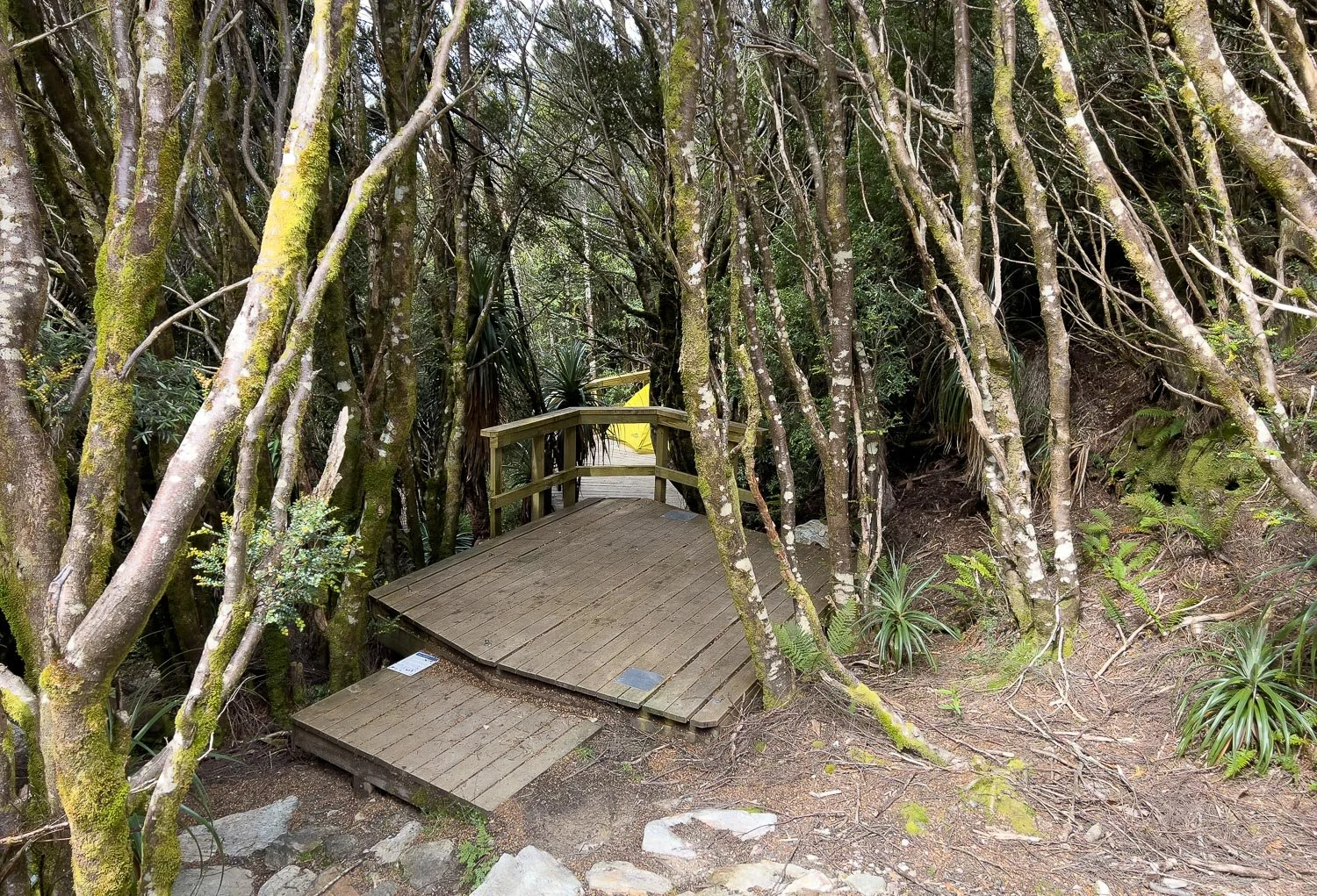
Many of these tree ladders too; they are quite slippery when wet but again, when you’re not in a hurry, it’s a lot of fun. And just look at all that moss and greenery!
You cross a number of small tributaries and drainage lines making their way down to the lake.
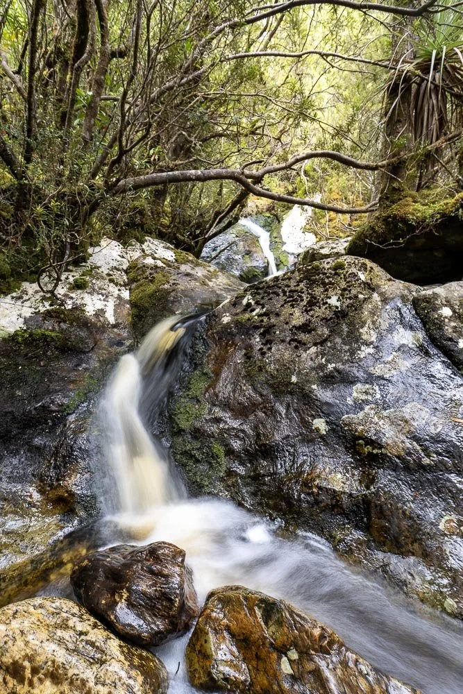
Cascades and rivulets burble and sing just metres from the track.
Here’s another.
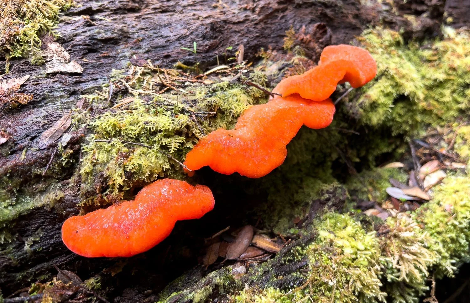
Brilliant orange Strawberry Bracket (Aurantiporus pulcherrimus)
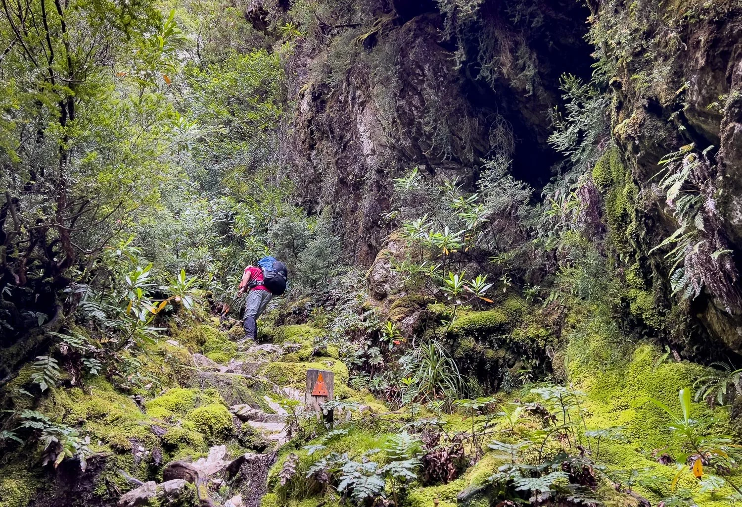
When you leave the Lake, the real climb begins.
Though it’s not true climbing, just steep scrambling.
Every surface is draped with vegetation: take time to look at those rock walls and hollows for interesting fungi, lichens and ferns. After a final set of steep steps, you suddenly emerge at the top:
Wow. We have lucked out with the weather; it’s cold but not excessively windy. The breeze here would normally venturi through the pass: you can see I’ve already donned my jacket. To the left is White Needle, and below are Lakes Gertrude, Magdalen and Millicent. You can just glimpse the edge of Lake Cecily behind the knob and three dead trees. Top right is Frenchman’s Cap, where we will hopefully be tomorrow. However, even if you get no further than Barron’s Pass and return to Lake Vera from here, the views are worth the effort.
After drinking your fill of alpine views, you leave Barron Pass. You might think the scrambling is done for the day but there is a fair bit more, not least because you descend significantly, and you also have another ridge to cross.
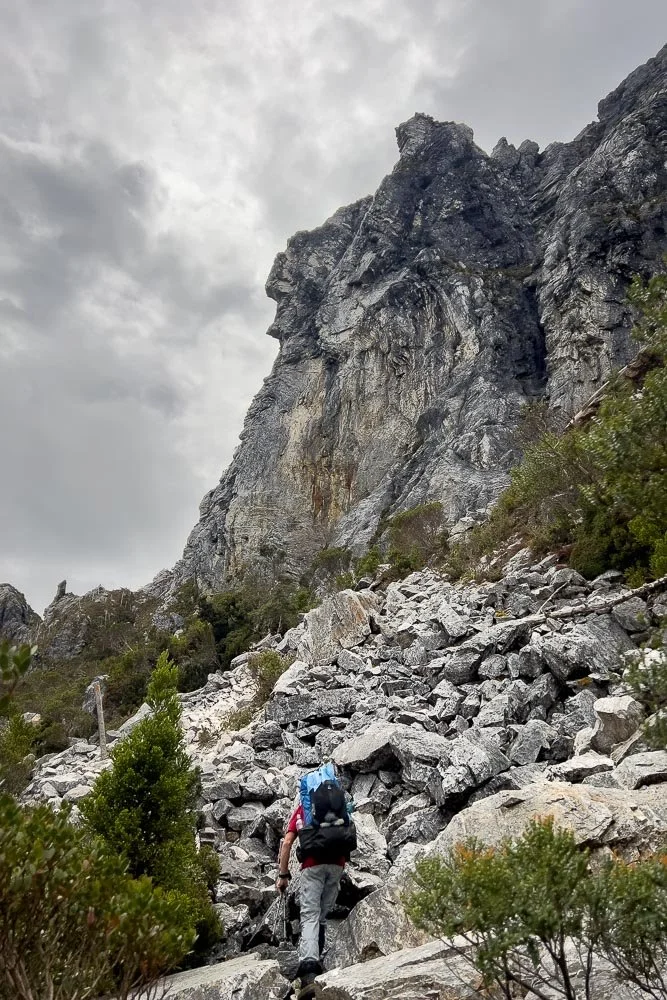
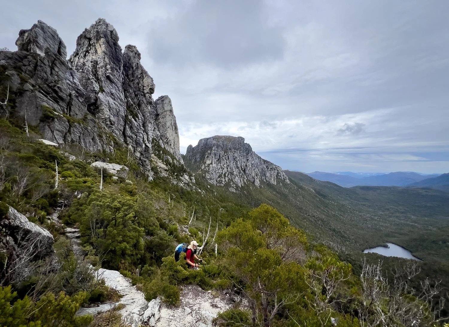
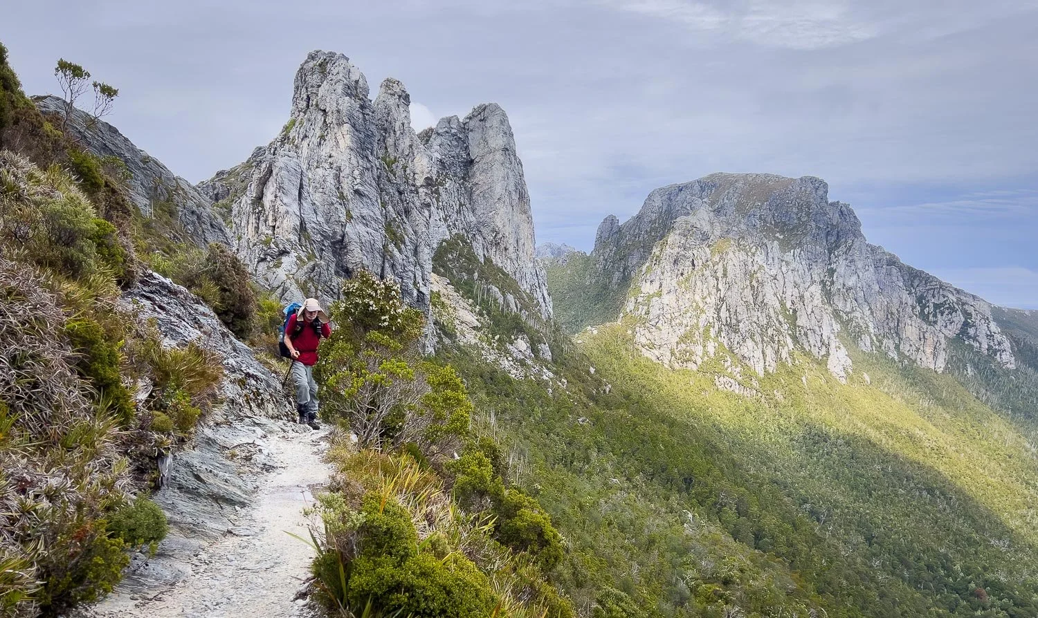
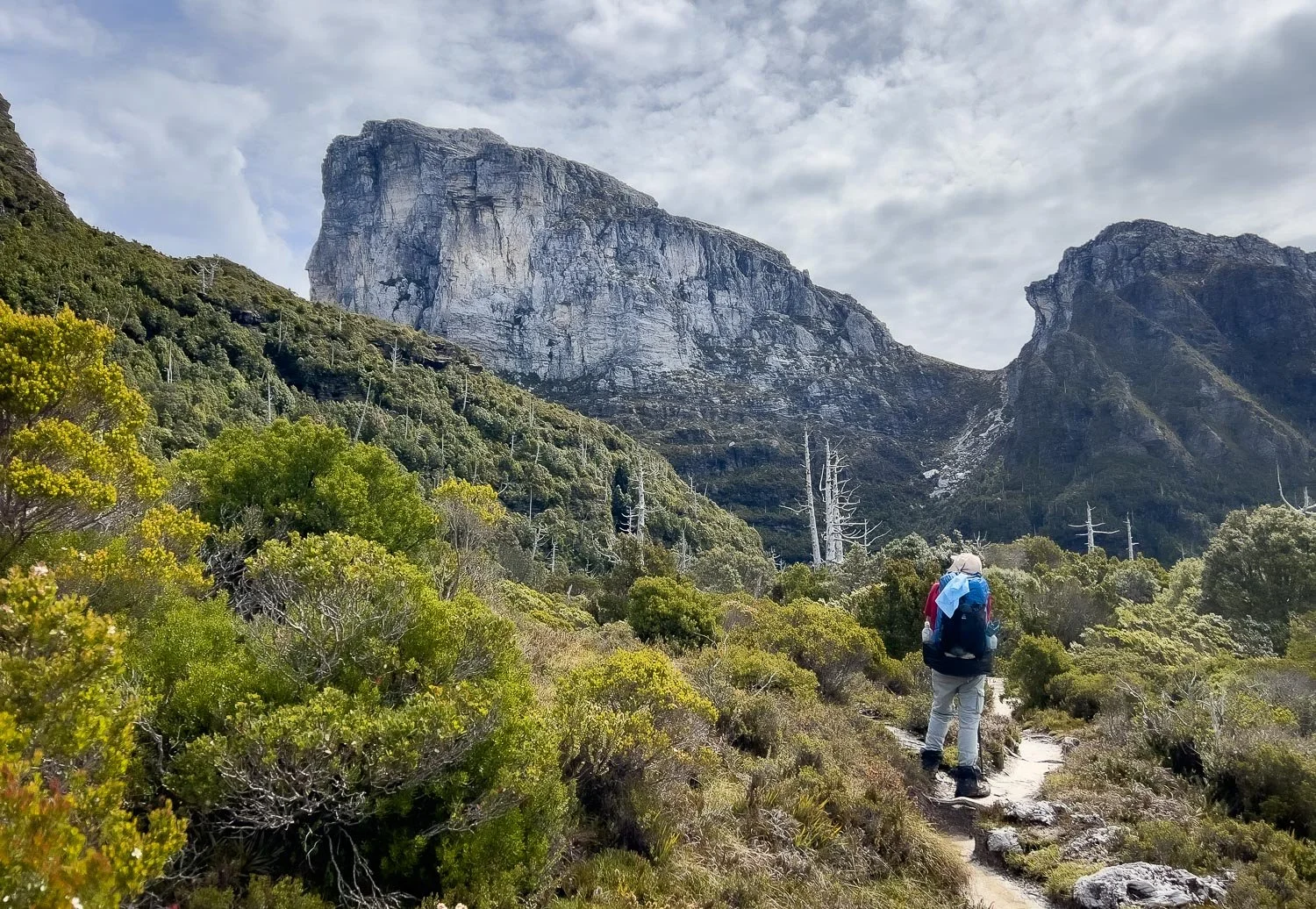
Sharland Peak’s western face is spectacular, with a jumble of scree at its base. The trail contours through the scree.
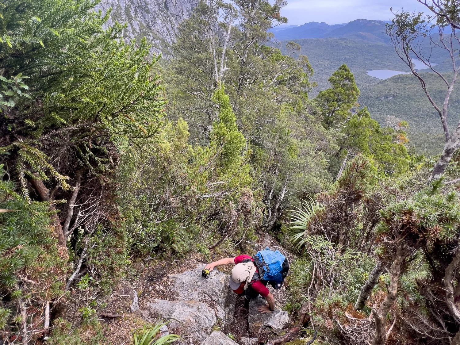
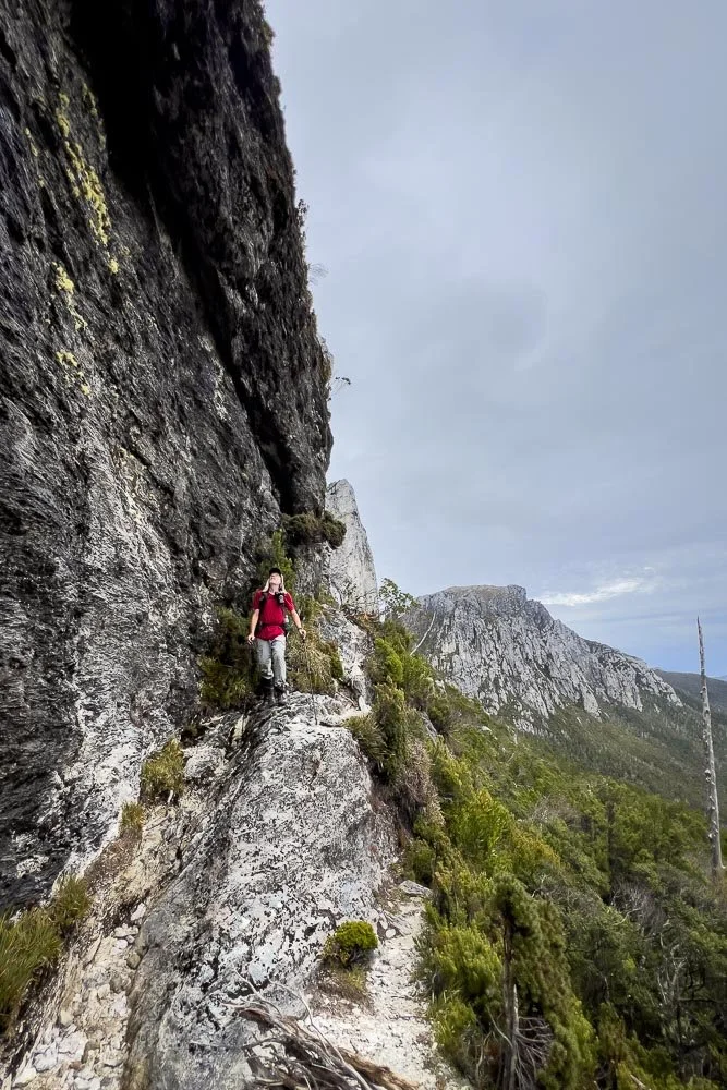
This bit seems exposed but really isn’t as bad as it looks. I dislike very exposed tracks and this one wasn’t daunting at all, partly because the dense vegetation on the downhill side provides mental reassurance. You will be fine, and this is the most challenging bit for the day!
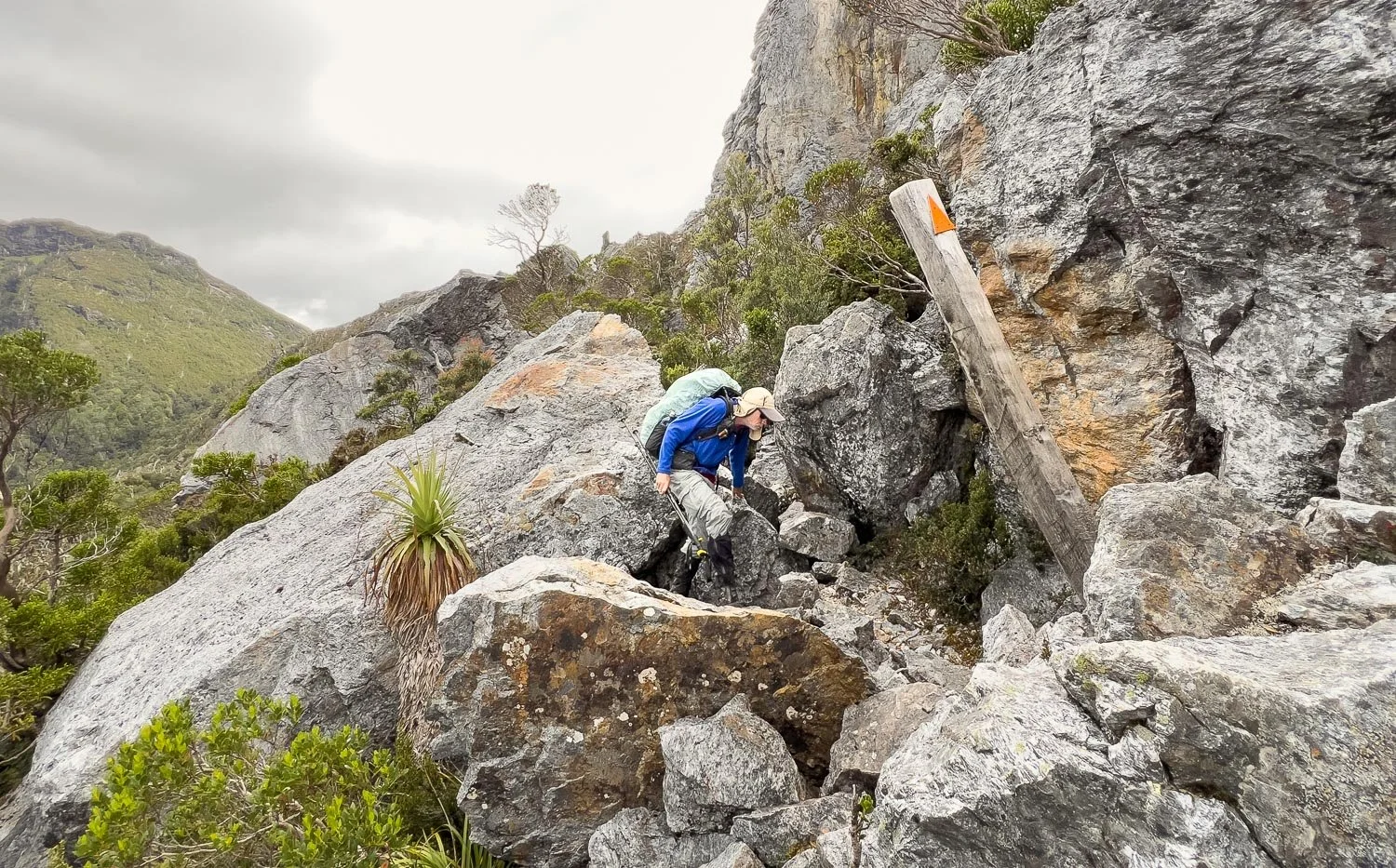
Again scrambly but no real climbing, and well-marked.
Milligan’s Everlasting (Xerochrysum milliganii) growing in the scree. Botanists will relish the many interesting and new species in this section.
We’ve included the detour to Davern’s Cavern here, although we did it on our return journey. It’s a beautiful 900m / 0.6 mile spur route that offers completely different views, and the little alpine plain is also quite different to the rest of the trail. We had no trouble finding the start of the spur off the main track but the route is very sparsely cairned; you can expect to make a few wrong turns even when your navigation is good (we were using a map with the Cavern marked, but no trail). Whenever there is no path on parts of a rarely used route like this, it’s important that your party spreads out to reduce compaction on the untracked sections to avoid creating a path where there wasn’t one before. We took a day pack with first aid kit, comms, snacks, water and rain gear, and left our main packs at the junction.
We didn’t quite make the Cavern but knew we were just metres away because we’d seen pictures of views from the mouth of the cave. However, with a few wrong turns we’d already spent quite some time reaching this spot. The track is completely overgrown in places and you have scrambling too, more demanding than on the main track. Just past this spot is a very short but steep scramble down to the Cavern around the corner, that I found too daunting within our time constraints: we would also need to scramble back up and I was feeling increasingly nervous. In this picture, Frenchman’s Cap is already shrouded in mist and rain was forecast; cloud base can descend incredibly quickly. We had the return route on Geoff’s smartwatch, but navigating the little plain in whiteout was not an appealing prospect.
Many hikers would not have been bothered by this at all and carried on. However, although I’ve been working on building my risk tolerance and confidence, I still get stressed and worried in these situations. I’m grateful to have a partner who is supportive and encouraging, but who after more than four decades also knows me well enough to see when I’m approaching my limits, and to accept them. Hiking is meant to be fun, and it ceases to be this — for me at least — when I’m stressed. Some hikers thrive on this, of course, but after two bouts of cancer I have zero interest in seeking out stressful challenges in everyday life! Geoff pushes me just the right amount. Conversely, I’m more confident on steep descents, and slow down for Geoff who picks his way more cautiously.
I recount this for those in hiking partnerships where one person is more gung-ho than the other. Geoff knows perfectly well that if I’m pushed too hard I end up hating the experience. Some people are different but, for a long and happy hiking partnership, you have to know when to accept the other’s limitations, and when to encourage them through. It’s a fine line but more confident hikers need to understand that although encouragement is great, pushing their less confident partners too hard can result in them hiking solo.
So back on the main trail now, with Barron’s Pass behind us, above Geoff in the photo.
The views through this entire section will have you pausing often to look back over your shoulder.
Drosera arcturi is an insectivorous plant that grows in alpine peat bogs. The little globules are sticky and trap insects.
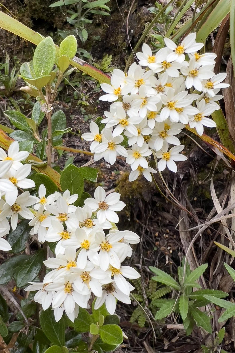
Mountain Daisy bush (Olearia persooniodes). Take advantage of the plant and animal books found in huts. Photograph relevant pages to help you identify what you’ve seen!
Geoff and Sharland’s Peak, Barron Pass, the White Needle and Philps Peak.
Beautiful moss gardens. These are extremely sensitive to trampling.
One last climb to Tahune.
You thought you were finished for the day, didn’t you? But if you have started early from Lake Vera like we did, you have plenty of time. I really enjoyed this section because we were under no time pressure!
You can see Barron Pass in the distance, and the ridge we’ve crossed. You’ve had a lot of cumulative ascent since Barron Pass, but you’re nearly finished for the day!
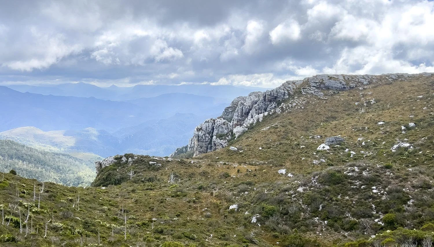
You’ll now sidle along the ridge across an almost level shelf with old wooden boards. On our return route, cloud was blowing through the valleys, making for wonderfully dramatic vistas quite different to our hike in.
Skeletal fingers of Billy pines remain from the 1966 fires that also destroyed the first Lake Tahune Hut. You’ll have marvellous views north.
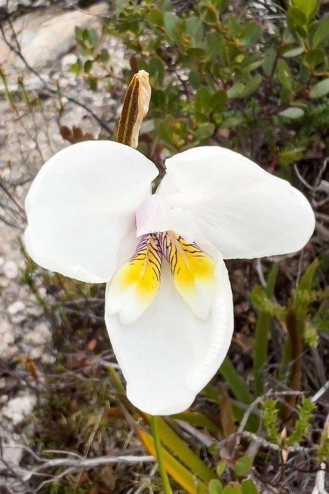
Western Flag Iris (Diplarrena latifolia)
Mountain Daisy (Celmisia astelliifolia)
We were amazed by the difference low cloud made to the views, here on our way out.
Just a little more clambering!
And there it is, Frenchman’s Cap up close! The hut is down in the valley beyond the nearest ridge.
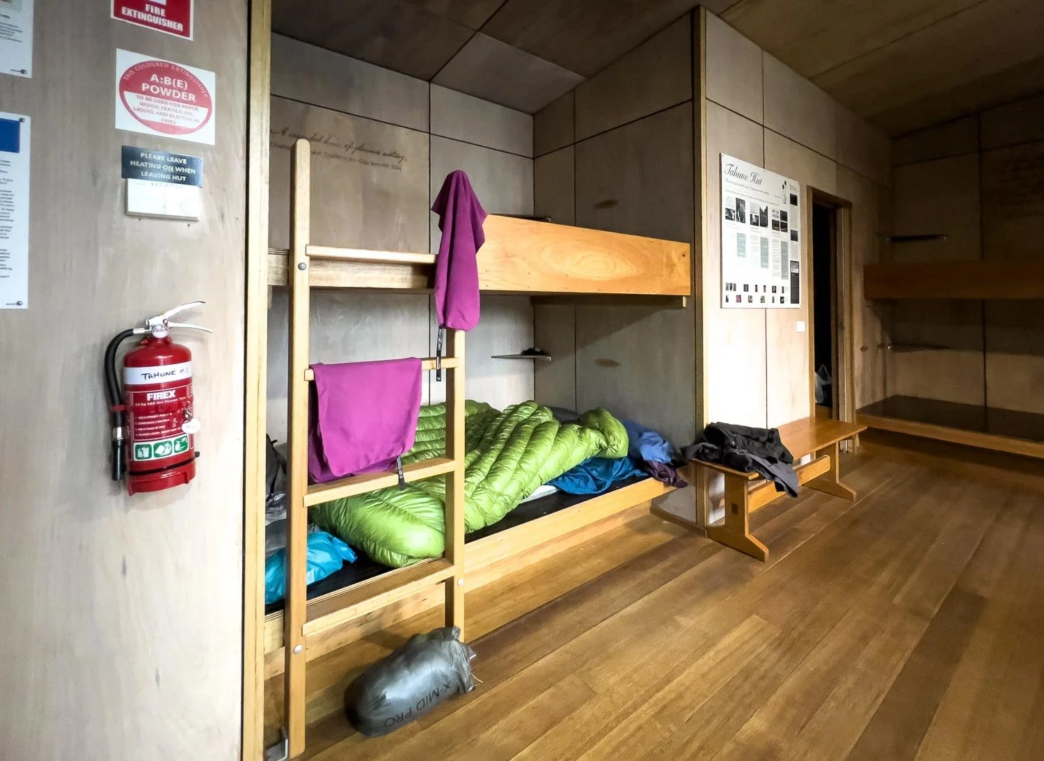
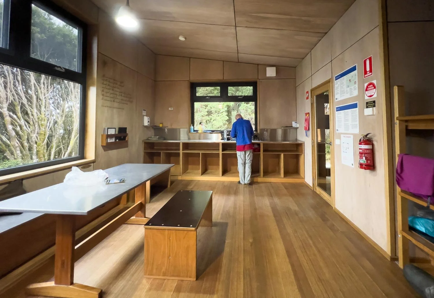
Down more wooden steps and Tahune Hut pops into view. It is the most comfortable public hut we’ve ever seen in Australia.
Sleeps 24, but fewer than half that are permitted to book because of the out and return format. We heard that some hikers spent quite a few nights in Tahune waiting for low cloud to clear. Rangers live on site a lot of the time in peak season both here and at Lake Vera.
The hut is heated by passive solar and a micro-hydro electric system from Tahune Creek, so it is deliciously warm… and not only draft proof, but rodent proof! It’s the only hut in living memory safe to not hang our food bags! You even have an opportunity to recharge electronics.
Plenty of tent platforms, which are more environmentally sustainable than the bare dirt ones nearer the lake.
And that lake… wow. Frenchman’s Cap looms overhead, and there’s even a small beach from which to swim. It’s idyllic (but very cold!).
We met a number of returning hikers today who urged us to climb Frenchman’s Cap if it was still clear immediately upon our arrival at the hut, and many faster hikers do this. Others hike it the following morning, then hike back to Lake Vera the same day. We strongly recommend that slower hikers do neither of these options, whatever others say. Instead, arrive at Tahune on Day 2, climb the Cap (and/or Lion’s Head) on Day 3 and return to Tahune, return to Vera on Day 4, and back to the Trailhead on Day 5. You will have time to comfortably complete the lot this way.
Slower hikers will likely arrive at Tahune mid-afternoon. There might be time to complete the summit but it will be rushed, and it has the most demanding scrambling of the entire trail. We decided that there would be no joy in such an approach: we’d stick to our plan and hope for the best.
That other hikers had been at the hut five days waiting for clear skies sounds like a good reason to change your plans, but it is not: for slower hikers it is first and foremost a safety issue. Tackling the most difficult part of the track, regardless of distance, when you are already tired, and with the possibility of returning in darkness, is not a sensible choice (YMMV if you are fast and agile). When faced with decisions like this, it’s essential to plan to your endurance and ability level, not anyone else’s. The forecast was for cloud and rain arriving the next day, but an early start should bring clear skies. We would keep our fingers crossed.
Evening views from the helipad.


