
Rocky Gully to Hugh Gorge Camp (Day 13, Sect.6 part)
Traverse hilly terrain with endless wildflowers before finishing at serene and peaceful Hugh Gorge

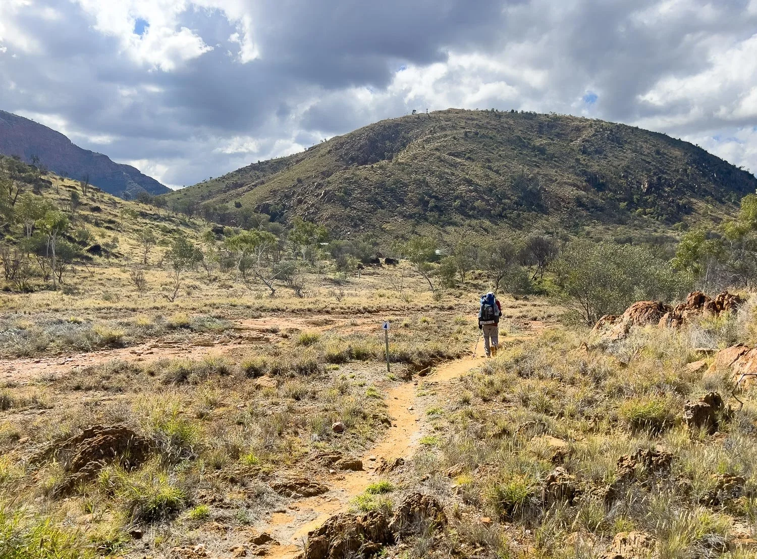
The Chewings Range grows ever closer
Today you continue north for 15.3km/9.5mi across a wide expanse of small hills and floodplains to Hugh Gorge in the Chewings Range. There are plentiful wildflowers and, with lookouts in the valley at various points, you’ll see the rugged Ranges stretching into the distance both west and east. Our recorded time from Rocky Gully to the main Hugh Gorge Camp was 6.4 hours (which includes all our stops and meal breaks).

Approaching the rugged Chewings Range
Ghost Gum Flat, with a couple of campsites and a sleeping platform/table, is roughly halfway between Rocky Gully and Hugh Gorge, so it’s an optional stop if you need to split the day. However, you’ll need to carry water as it’s a dry camp, and this is the resupply with the longest food carry and more demanding terrain in the days ahead so, rather than planning to stop here, use your extra food stash only if needed. You’ll have the opportunity for a refreshing dip in a rockpool near Hugh Gorge camp late afternoon.

The traverse covers numerous small gullies and creeks
Because tomorrow’s hike through the gorge is strenuous and slow, your best way to even out the days regardless of where you have come from today is to finish at Hugh Gorge Campsite. This gives you a full day tomorrow to traverse the gorge, do the side trip to the waterhole, and finish at Fringe Lily Campsite.
If you’re following our itinerary, compare your times to ours each day or check the table in Itinerary. Or, check your times against the ones in your Park Maps. That way, when you reach the most challenging sections around Standley Chasm, you’ll know whether you will be faster or slower than us or official figures on those days, and whether you need to allow more time.
How to Make Today Easier
At (15.3km/9.5mi), today is one of your longer distances. Although you have no gorges or deep rivers to traverse, the terrain is hilly rather than flat, wih a surprising amount of elevation gain and loss. The trail again alternates between smooth pads on the flats and rocky path on the rises, but it’s not as consistently rough as on the higher ridges.
If you really need to, you can stop at Ghost Gum Flat to halve the distance but, if you’ve managed our suggested itinerary thus far, you should be able to reach Hugh Gorge campsite with plenty of daylight left. Faster hikers who stop at Ghost Gum Flat would probably pass through Hugh Gorge Campsite to continue on to Hugh Gorge Junction the next day, but this will be too far for slower hikers whom we strongly recommend start their Hugh Gorge traverse from Hugh Gorge campsite.
As always start early, especially if it is forecast to be warm.
Walk with Us

This is typical of the terrain you’ll be hiking today.

Almost all the way you have northerly views from small rises. The Chewings Range looks noticeably more steep and rugged than the Heavitree Range: you will be champing at the bit to hike deep into its folded gullies tomorrow.

Plenty of wildflowers today, here Variable Daisy (Brachyscome ciliaris)

A rocky descent: you have a lot of this kind of track…

… but here it descends to one of the many drainage lines, becoming easier underfoot as it flattens out.

Small pools remain.
Long distance hikers often use water filters that remove not only sediment but also bacteria such as salmonella and protozoan disease agents such as giardia. Some very fine filters remove viruses. They are good for very long thru-hikes because you don’t need to dose your water with chemicals for months on end.
For shorter hikes like the Larapinta, we and many other hikers are comfortable using chlorination tablets such as Micropur and Aquatabs, which also kill viruses. The original Micropur takes about 4 hours to fully disinfect, so not great for backpacking, but both Micropur Forte and Aquatabs take about 30 minutes. Aquatabs are much cheaper than Micropur tablets.
For an excellent, evidence-based assessment of different water purification methods, we can highly recommend Gear Skeptic’s in-depth videos:
Boiling vs Pasteurisation (Parts 1 and 2!)
UV sterilisation doesn’t work in very turbid water, which we often experience here in Oz, and the pens are known to fail and/or run our of power.

Ghost Gum Flat campground has no hut or toilet, just a sleeping platform in the shade of one of two magnificent Fork-Leafed Corkwoods (Hakea divaricata)

And here is the eponymous Ghost Gum marking the site: with its three huge burls, you can’t miss it.

The critically endangered Olearia macdonnellensis, spotted on a different day but included here.

The views are just grand.

More of that smooth track on flatter sections through mulga and more daisies, here yellow Fleshy Groundsel (Senecio gregorii).

Sturt’s Hibiscus (Hibiscus sturtii) is similar to Sturt’s Desert Rose (Gossypium sturtianum) but lacks the dark centre

Wending your way through rocky outcrops on a rise to…

… Hugh View. The notch in the range centre right is Hugh Gorge.

And down again.

Megazosteria sp humpy-rumpy

Nearing the Gorge through mulga
You’re nearly there when you reach a tributary of the Hugh River, with the roofs of both hut and toilet peeping from the tree canopy beyond.

And there is the hut, surrounded by plentiful campsites.

Another campsite…

… and yet more sites close to the river.

After today’s heat, rain is forecast for tomorrow. For the first time we elect to sleep in the hut, not because we’re concerned about our tent, but because it will be faster to pack up in the morning.
You can see our twin quilt, but not the liners. Each of us sleeps in an individual silk liner bag, keeping the quilt nice and clean whilst still being able to sleep spooned without the (ahem) grungy clamminess of the trail. Many people forego liners, but they keep your down quilt or bag much cleaner. Although it’s perfectly possible to wash down quilts, they lose a small degree of loft every time so the less laundering, the better.
After tearing through several silk liner bags over the years — recent purchases wore out much faster than our decades-old ones — we found that the Mont Silk inner sheet is significantly superior to other brands we’ve tried: it’s expensive but strong, well-sewn, with even the standard size wide and long enough to protect the quilt.
For more details on our sleep system and how to choose one for yourself, see A Lightweight Backpacking Sleep System (for Couples, but most of it is equally applicable to solo hikers).

After setting up your tent or sleeping gear, you will probably have time to pop into the Gorge.

Time for a wash… no soap, of course!

Relax and dry off on smooth warm rocks.

Dinner prep. If you’ve been following our blogs, you know we dehydrate all our own dinners (here we describe how to do it yourself). Geoff is pouring boiling water into the sousvide bag, with the pot cosy, sewn from a supermarket chiller bag, left foreground.

After slitting the bag and filling it with water, we reseal it with one of these sliders before popping it into the cosy for 25 minutes to rehydrate.
This is our tomato and bean minestrone.

Yum!
If you’re a slower hiker, you may be feeling a little apprehensive about tomorrow. You have a swim/wade, plus a long bouldery gorge. Geoff reassures me that there has been nothing thus far, including bouldery gaps and gorges, that has stopped me, and that we will have plenty of time. With that thought, I sleep soundly, anticipating an exciting, rather than a daunting, day.
We respectfully acknowledge the Arrernte People as the traditional custodians of the land on which we walk and pay our respects to Elders past and present and to the Aboriginal people present today.