
Day 2: Melaleuca to Buoy Creek
Vast plains, sheltering mountains and wide white beaches

Solitude on a vast buttongrass plain

Today's 16.4km (10.2mi) walk takes you southeast across vast buttongrass plains sprinkled with wildflowers, before contouring around New Harbour Range and Freney Lagoon, teeming with birdlife. Once you reach the coast, you'll walk along Cox Bight's two gloriously deserted white beaches, passing several campsites and crossing a few stream outlets along the way. At the end of the second beach is cosy Buoy Creek campsite.
You have little elevation gain and loss – just 280m (920ft) and 300m (980ft) respectively – so although the distance might seem on the longer side for us slower hikers, the sand is reasonably firm underfoot, and duckboard eases the boggier parts of the buttongrass plains. You might be tempted to stop earlier at Point Eric, but this makes tomorrow, with more elevation gain, a much tougher day. Use those fresh legs today instead!
Walk with Us:

Pop into the shed to register your walk in the logbook; we give our trekking pole tips a clean as we missed them yesterday.

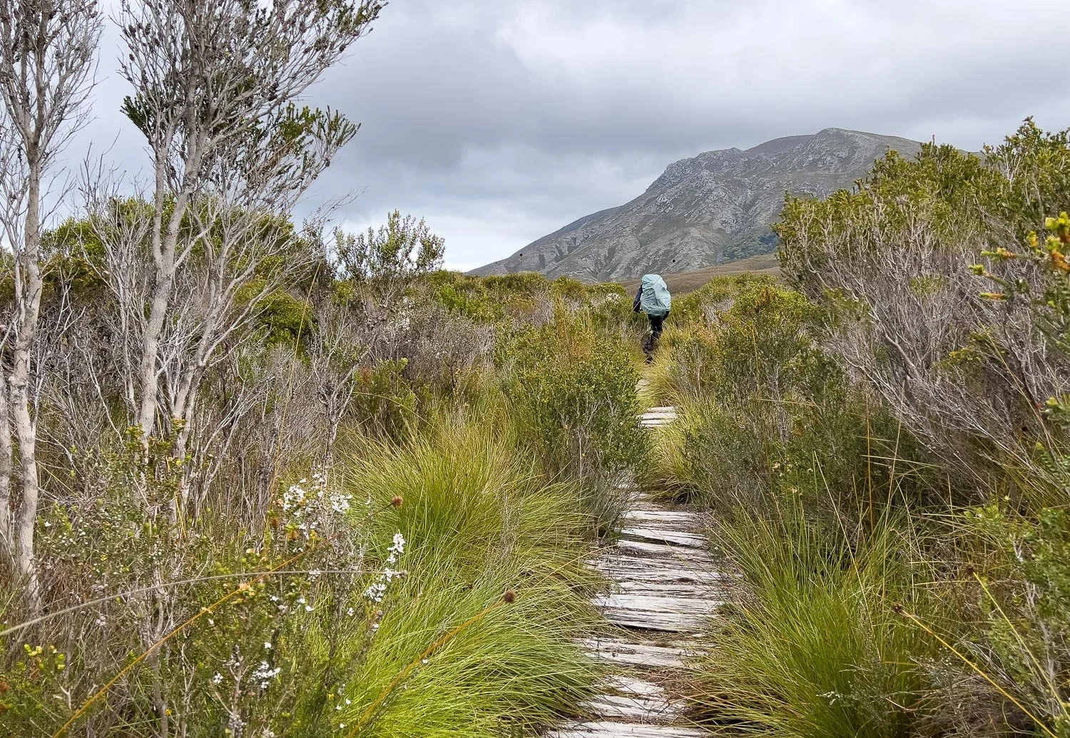
Almost immediately you're out onto those marvellous buttongrass plains, wider than any we've seen on our hikes on the Central Plateau. The weather is good now, but rain is coming. You can expect rain on the SCT, just dress accordingly and accept it's going to happen.

Famously "square poo out of a round hole" is unique, instantly-identifiable scat. Scientific papers have been written about wombat poo, should you be wondering! Hint: it's not the hole!

More orchids! The colour and size of these flowers suggests this is a different species to the tiny, pale lemon-yellow ones yesterday but alas, despite what many orchid hunters might wish, speciation usually depends on more than size and colour, which are often influenced by growing conditions. This is simply a bigger, darker form of Prasophyllum concinnum.

The plains are grand, with plentiful small wildflowers thriving in the slashed strips along the duckboard. No muddy slogs today but, don't worry, they will come later! Pandora Hill and the Bathurst Range left and ahead respectively.

You will have seen the track from the plane yesterday. It's difficult to convey this regions's vast and remote ambience, even though Melaleuca is not far behind. No roads enter the Southwest National Park, so it's only accessible by air, boat or foot. Unlike nearly all multiday walks on mainland Australia, the entire SCT crosses not a single vehicular track. It's wonderful.

As forecast, rain is coming. We're wearing three-layer goretex rain jackets and good quality albeit slightly lighter rainpants. Very light rain pants fail when pushing through wet scrub, but usually don't need to be as heavy as a jacket protecting your core with the weight of a pack and direct rain on your shoulders. You can often get away with lighter pants, especially if your jacket is thigh-length.
On this trip, we are wearing goretex Arcteryx Beta AR jackets, but lighter weight goretex Outdoor Research Foray rain pants, both purchased during sales at significant discounts – autumn sales when new models arrive are good times to buy superseded models. These pants would not suit serious Tassie scrub-bashing, but are fine for the SCT.
When choosing rain pants, look for ones with long zips and wide legs so you can put them on without taking off your boots; the latter is a pain if you're donning and doffing in showery weather. Hikers with big feet wearing boots rather than shoes need to be especially vigilant! Some rain pants like ours have full-length two-way zips, great for cooling off as well as being easy to put on quickly without smearing mud inside. Look also for press studs that tighten the cuff around the ankle.
We normally wear rain pants tile-style over gaiters to avoid funnelling water into our shoes, unless we're in tough terrain.

Sundew (Drosera murfettii).

And another, the Fork-Leaved Sundrew (D. binata) with its sticky "dew". They excrete digestive juices and can absorb nutrients through their leaves, tentacles and sessile glands.
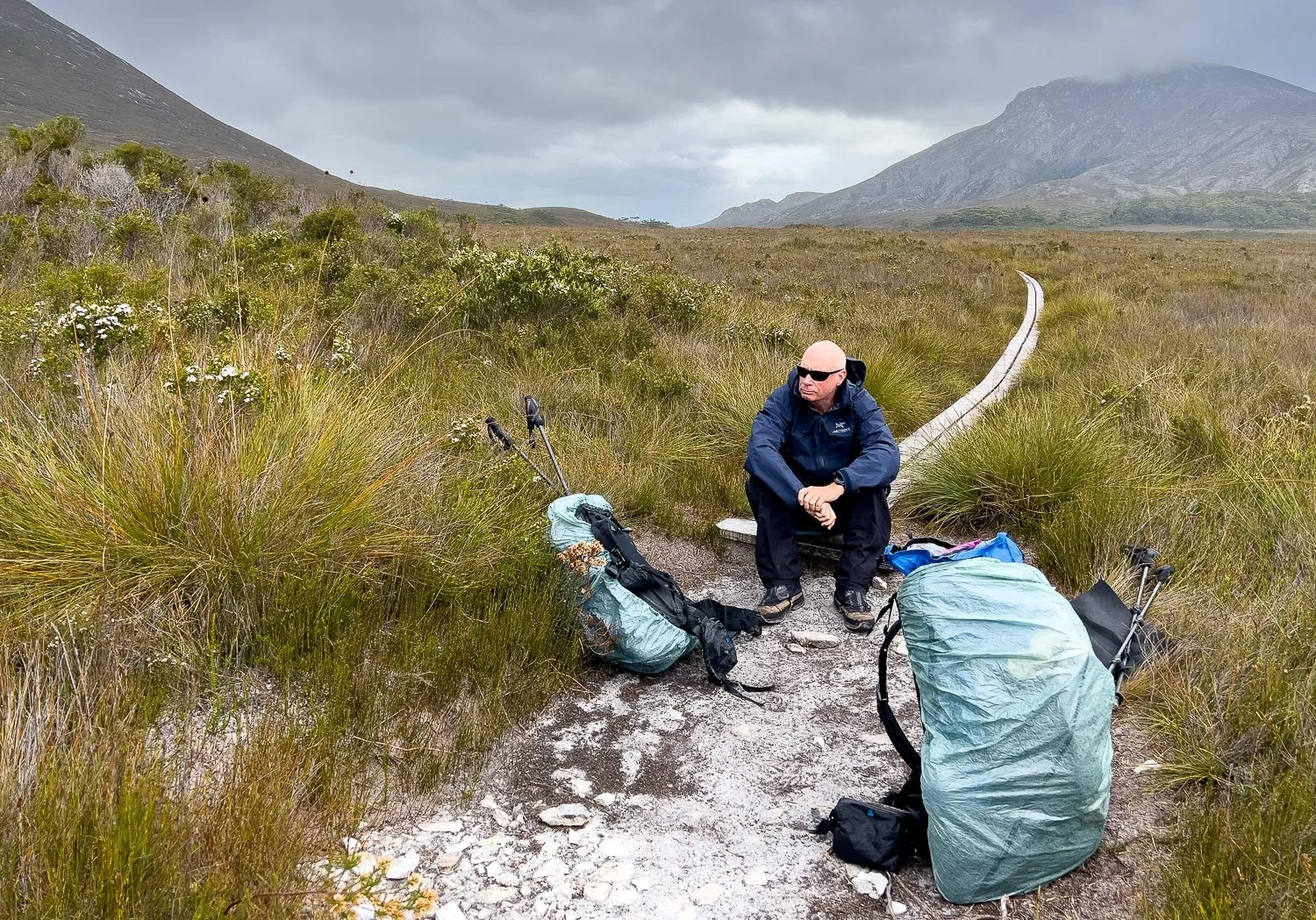
Snack break. You can't see it there but, whenever we wear rain pants, we use sit pads or a bit of closed cell foam to protect the DWR coating. You can also see we have DCF pack covers. Always choose a pack cover that clips to or around the pack and use the attachments: loose ones fly away or get pulled off in scrub.
Our packs are "waterproof" but of course pack seams and complex sewing means that none of them are completely dry even when the material is or they are seam taped. In a wet, cold climate like this, on a remote walk with many creek crossings, we double up and also use pack liners. Overkill perhaps, but drenched clothing and sleep gear on a remote walk in a cold climate can mean hypothermia and an emergency evacuation.

Great sweeps of rain approaching from the west have caught up. Time to cinch down the hoods! Hood design is important when you wear glasses; we think Arcteryx's design is particularly good, snugging down without obscuring your vision when you turn your head and protecting your lenses in all but driving head-on rain. Again, we would never buy eye-wateringly expensive Arcteryx at full price: get onto the mailing lists of your local outdoor retailers and wait for those sales!
Starting to climb the lower flanks of New Harbour Range.

Defintely a different species this time, standing over a metre: the aptly named Tall Leek Orchid, P. elatum.

Silver banksia, B. marginata.

More misty drifts of rain over Freney Lagoon...

... but, nearing the coast, the clouds clear and patchy sunlight splashes across the landscape.

Onto the beach for lunch on a convenient log. The nearest spit is Point Eric: many hikers stop there but a little extra walking ensures tomorrow is a better distance. The range just behind Point Eric is Black Cliff Hills, with Red Point Hills marking the far side of Cox Bight.

Onto the pristine sand, washed clean of all human footprints other than ours.

A number of small informal campsites are tucked under the melaleucas should you need them.

Freney Lagoon outlet
Around Freney Lagoon outlet, marked with bright flotsam, more campsites are under the trees. The one on the eastern bank has a toilet.

Freney Lagoon campsite right by the beach.

Onwards with Point Eric nearing, and the sky clearing.

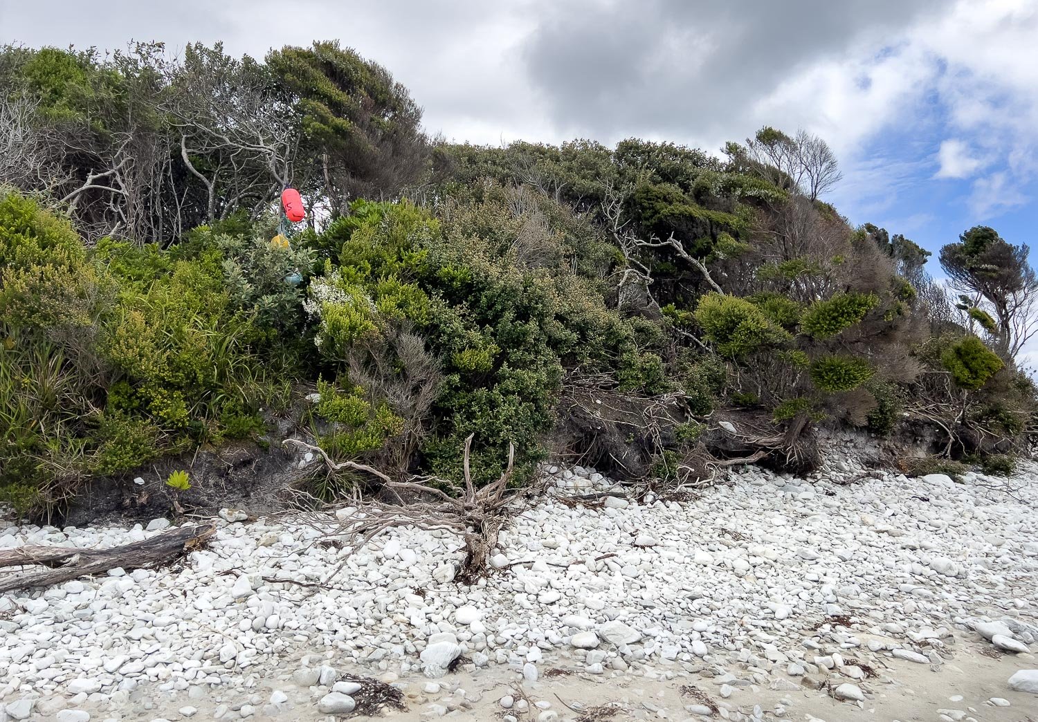
Up off the beach and into the forest to cross Point Eric. The orange trailmarker points the way, but it's those buoys and flotsam that are more likely to catch your eye. Keep a lookout for them.

Lush, shiny and green: such a contrast to the previous buttongrass and beach.

Point Eric campsite, with just a little further to go to Buoy Creek.

Tough Thrift-leaved Triggerplant (Stylidium armeria) growing out of the cliff face in harsh salt spray right above the beach.

Rounding Black Cliff at low tide; there is a track around the top if needed.

Across the tinted waters of Buoy Creek with clouds threatening again. The sharp-eyed might just make out more buoy markers and a post dead centre on the edge of the sand.

Nearly there: the campsite is past the markers on the right, just into the shelter of the trees. Collect water from the creek upstream.

You can see how difficult the track is to spot without those markers: the forest just swallows it up.

Several sheltered campsites at Buoy Creek, but no toilet. Bury your waste!

Past hikers have collected a driftwood for table and seating. That's our caldera cone alcohol stove paired with a 1300ml Evernew pot and a Starlyte burner, an extraordinarily efficient system that uses up to 70 ml of fuel daily for two hot breakfasts, two hot drinks, two hot dinners plus the occasional hot soups and extra cuppas. Geoff always carries extra fuel: he has about 800ml (total) in the two plastic bottles beside him. It is much lighter than gas for us because the fuel bottles are so light (gas canisters are heavy even though the fuel inside them is light).
We have the campsite to ourselves, most likely because we left in the morning after stopping overnight in Melaleuca after our flight. Hikers that head-off straight from their flight into Melaleuca will almost certainly stop at either Freney Lagoon or Point Eric - Buoy Creek is a little too far to be done in the late afternoon. And hikers going east to west will also most likely push onto to Point Eric or Freney Lagoon so that can reach Melaleuca in time for their return flight. Much nicer without the rush: enjoy the solitude and make your next day to Louisa River easier.

It's drizzling on and off so Geoff cooks under the sheltering melaleucas just outside the vestibule, and we eat tuna mornay inside the tent.

Cool evening sunrays light the water, and we can hear waves from our tent. Over 16 km (9.9mi) there has been such variety with beaches, forest and buttongrass, and we've only just started. What will tomorrow bring?
We acknowledge the Tasmanian Aboriginal people and their enduring custodianship of lutruwita (Tasmania).