
GPT Central Section Planning and Tips

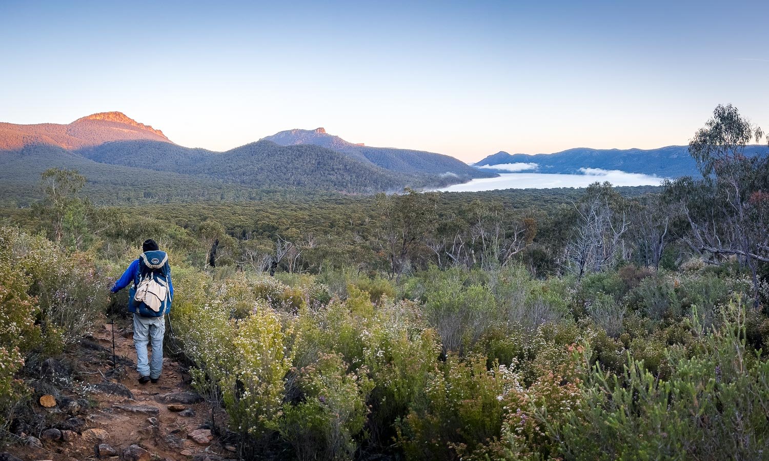
Geoff taking a breather on the climb out of Boundary Gap.
The standard central section starts at Halls Gap and finishes at Yarram campsite. You start by traversing the spectacular Wonderland Range with its tors, rock pools and waterfalls, hop across to imposing Mt Rosea on the Serra Range, then cross back to the Seven Dials and finally the Mt William Range for the highest peaks and plateaus in the Grampians. That’s five days’ solid walking with four overnight stays in designated camping areas. On the last day you will either continue to Yarram campsite for a fifth night or, if you are planning to walk the central section only, detour to Jimmy Creek, which is the last vehicle access point before Yarram. There is no public road access into Yarram.
If you are planning to keep going and complete the Southern Section as well, then Jimmy Creek is the perfect spot for a food resupply for the Southern Section. It is also a convenient spot to have a rest day (or simply split the day into Yarram) if you camp at Jimmy Creek Campground. Alternatively, get a track transfer from Jimmy Creek back into to Hall Gap for a rest day there if you prefer. Both Experience the Grampians and Grampians Peaks Walking Co will take you to and from Jimmy Creek.

Exposed plateau around Durd-Durd
This section is by far the hardest of the hike but also the some of the most spectacular! The days are steeper and longer with plenty of elevation gain and loss and the track less is well formed. There are also parts exposed to extreme weather, so it is much more challenging than the northern and southern sections. If you found the northern section particularly challenging, then this central section is probably not for you. Otherwise, give it a go: the views are amazing and the walking varied and interesting and, though most of our readers will find it demanding, there are ways to make it easier and bring it within your skill envelope.

Central Section Summary Map and Elevation Profile Details
So here are some ways to make it a little easier, and it’s best to explore these for the section as a whole. Remember, we don’t suggest you avail yourself of every option on the list: most people for whom this hike is challenging need only one or two tweaks to bring it within their capability. We successfully completed the hike without any major tweaks, but in hindsight would have enjoyed it more had we made a few changes.
Whilst our main focus here is to provide guidance on completing an end-to-end hike, you have several ways to complete a portion of just this section with track transfers:

View of Lake Bellfield from Mt Rosea. Instead of continuing to the right/south along the Range on the next day, you can hike left/north into Halls Gap along the far edge of the lake.
The first is to hike out of Halls Gap and get collected from Borough Huts Campground (a short distance before Barri Yalug). That would create a 24 km, two-day hike with one night at Bugiga campsite.
A variation of this first option is to camp overnight at Borough Huts Campground and then next day walk back 12km to Halls Gaps along the trail along the eastern shore of Lake Bellfield on the eponymous track and The Terraces Fire Track. That would make a very doable 3 day, 2 night hike of 36km (22.5 miles), with approximately 1500m (5000ft) elevation gain and loss.
A second option is to get dropped off at the Mt William car park and walk to Jimmy Creek Campground for your retrieval. That would create a two-day 19 km hike with one night at Durd Durd campsite. You skip the toughest day of the hike, but still have the second hardest to enjoy with many expansive and varied views and a short downhill walk of around 6 km on the second day into Jimmy Creek. If you wanted to start at Duwul campsite then you could get dropped off at the Mount William Road water tank and walk just under 1 km into Duwul campsite and stay the night before heading off the next day — we guarantee you’ll be the freshest person in camp by a long shot, and no doubt get some perplexed looks!
Both of these could be done in the opposite direction.
Track transfer operator Experience the Grampians may also be able to offer other boutique transfer options.
Subdivide the Section
You could subdivide the Central Section in either two or three parts, much along the lines we have discussed above by using the Borough Huts Campground and Mount William Road track transfer points.
Day One out of Halls Gap as a Day Walk

Enroute to The Pinnacle out of Halls Gap.
This is the simplest tweak for this section and one we highly recommend you consider. You get a track transfer to one of three car parks (depending on how evenly you’d like to split day 1 out of Halls Gap) and then walk back into Halls Gap. Get another track transfer the following day back to the same car park and continue on your hike.
If you used the Wonderland or Sundial car park then you have a short scenic walk into Bugiga campsite on your second day.
If you used the Mt Rosea car park you could either take the short walk back into Bugiga campsite or bypass it and head straight to Barri Yalug or Borough Huts campground.
This option could also be used in conjunction with the following options to further ease the load.

By hiking north instead of south, you’ll be descending rather than climbing on the first day.
Experience the Grampians provide transfers to any of these three car parks.
Divide the section in two:
You’d start at Halls Gap and walk to the Mount William Road carpark. You’d have three long days and three nights, staying at Bugiga, Barri Yalug, and Duwul campsites. We suggest you stay at Duwul and walk the extra 1.1 km to the Mount William Carpark on the fourth day, rather than trying to squeeze it into the end of the third day by passing Duwul because, although the extra distance is short, the track is steep and rough. Return to Halls Gap for a rest day(s) and then restart at the Mount William Road Carpark, walking on to be collected from Jimmy Creek (if you are only doing the Central Section). The second part would comprise two days; the first day a 13 km hike into Durd Durd campsite where you’d spend the night, and then an easy 6km downhill hike on the second day to Jimmy Creek. This options gives you a Rest Day between the two most difficult days, useful if you are carrying an injury or finding the going at your limit.

Rocky track between Duwul and the Mt William Car Park.
An alternative variation of this option is to get collected at Borough Huts and restart there on your way (eventually) to Jimmy Creek. You walk the first 24km and then have a rest day in Halls Gap before tackling the two hardest days. The transfers would be the least costly, but it has the disadvantage of still having the two hardest and most exposed days of the hike back-to-back. A lower cost option still would be to have your rest day at Borough Huts - but you’d need to carry extra food for the first two days of this section, or do a food drop at Borough Huts.
Divide the section in three:
Start at Halls Gap and walk to Borough Huts Campground for a track transfer back to Halls Gap.
Track transfer to return to Borough Huts and walk to Duwul campsite, stay the night and get collected at Mt William Road carpark the following day, back to Halls Gap.
Track transfer to return to Mt William Road carpark - walk to Jimmy Creek campsite for collection or to Jimmy Creek Road for a food resupply if you’re going on to the Southern Section.
Experience the Grampians provides transfers to and from all the drop off locations we’ve listed above. Grampians Peaks Walking Co have a regular scheduled shuttle service between Dunkeld to Halls Gap and may also assist with some of the transfers.
Intermediate Camping Options

Bridge over Fyan’s Creek just before Borough Huts Campground
The legal intermediate camping options in the Central Section are at Halls Gap, Borough Huts Campsite, First Wannon Campsite and Jimmy Creek Campsite.
Halls Gap
The Halls Gap option requires a track transfer to and from your drop off/ pick up location, as described above as a day walk out of Halls Gap.
Borough Huts
Stopping at Borough Huts just 1.4 km from Barri Yalug campsite gives you the opportunity to effectively have a rest day mid-way through this section. You need an extra day(s) of food but you then have a very short 1.4 km day to Barri Yalug (where you can only stay one night) before heading on to Duwul. You could also stay two or more nights at Borough Huts (where you are allowed to stay for multiple nights) and bypass Barri Yalug, but that would make the demanding day into Duwul even longer.
First Wannon Campsite

First Wannon Campsite
First Wannon Campsite is a bush camp with pit toilet. It is pleasant and midway between Duwul and Durd Durd. After the hard day to Duwul, we seriously considered stopping here (we always carry a spare day of food for such occurrences) but were feeling unexpectedly fresh when we got to First Wannon at lunch time so we continued on. It allows you to split this long day in two, but most of the hard work on this day is done by the time you get to First Wannon camp. You might like to keep it as a backup should you need it by ensuring you have enough food, medicines and water with you. There is no public road access to this site and water may not be reliable as it is from First Wannon Creek. The creek was running nicely when we hiked in early October, but you would need to check beforehand or ensure you carry sufficient water from the serviced water tank just past the Mt William summit.
The campsite is mainly used these days by school groups so you could be in for a noisy but entertaining night!
Jimmy Creek Campground

Jimmy Creek is perfectly situated halfway between Durd-Durd and Yarram on your last day of the Central Section. You will likely have a food drop there for the Southern Section, but the Campground is lovely and the perfect place to split the day, or even for a Rest Day before the southern section. There are toilets, picnic tables and with extra food in your resupply box you need only carry it 200m to the campground.
Food Drops / Resupplies
Having food resupplies midway through the section provides the opportunity to minimise your pack weight. And if you’re planning to keep going to the Southern Section then we highly recommend a food/resupply drop at the Jimmy Creek Road crossing to greatly reduce your pack weight through this Central Section.
There are four standard locations where food drops are practical in this section:
Mt Rosea car park (we think Borough Huts is a better option);
Borough Huts or Redbank Road water tank (noting that Redbank Road is past the spur track junction to Barri Yalug campsite so Borough Huts is probably a better option in most cases);
Mt William Road water tank or the Mt William Road car park (noting that Duwul campsite is about halfway between these two locations); and
Jimmy Creek Road water tank.
Food (and fresh clothes!) drop at Jimmy Creek Water tank.
The Jimmy Creek Road water tank crossing is helpful if you are going on to the Southern Section or to Yarram campsite, otherwise it is not needed.
If you use Borough Huts or Redbank Road, plus Mt William Road water tank, then you only need to carry one day’s food (plus a spare) for most of the time through this section, although you’d need to carry two days food for the short distance from Mt William Rd to Duwul campsite.
Grampians Peaks Walking Co offer a food drop service to these locations, but they are all accessible by public road so you can do them yourself at much less expense if you have your own transport.
Water Management
Growing up in a hot, semi-arid environment, Helen and I are both anal about water on our hikes. We invariably carry more than we need. However, notwithstanding the critical imperative to carry sufficient water, you have some practical and simple ways to manage the amount you carry on many days of this hike by being smart with water resupplies - even if you’re perpetual over-carriers like we are!

Creeks like Fyans, here, may or may not be running. Remember to treat water collected from creeks.
There are serviced water tanks at:
Sundial Carpark: to top up on the first day.
Bugiga Hike-in Campground: you can rely on this water supply when you reach Bugiga campsite. The serviced water tanks are enclosed within the toilet complex that feeds a tap near the shelter.
Redman Road Trailhead/Crossing: this about 400 metres (0.25 miles) past the turn off to Barri Yalug campsite if you are hiking north to south, so if you need water for the night and are concerned the unserviced small tank Barri Yalug might be empty, then you can fill up at Fyans Creek if it’s running as you pass Borough Huts, or at the rainwater tank at Borough Huts. Remember to treat the water.
Mt William Road: if you are hiking north to south, this is around 900 metres (0.5 miles) before Duwul campsite so you don’t need to carry water for the evening meal or breakfast the next day during the hike from Barri Yalug to Duwul until you reach this water tank.

Barri Yalug, Duwul and Durd Durd have gathering areas and no large water tank, only small ones by toilets as shown here. At dry times of year, especially after events or large school groups have been through, these can empty.
Mt William Summit: you only need to carry enough water from Duwul campsite to get you to this point, but it is the only serviced tank from here to Jimmy Creek. There is a rainwater tank at Durd Durd that receives runoff from the toilet building roof and First Wannon Creek is another potential source of water between Duwul and Jimmy Creek depending on season and time of year. There was plentiful water from both of these sources when we hiked in mid-October 2023.
Jimmy Creek Campground, and
Jimmy Creek Road Crossing

Yarram has a large roof area and tank associated with it. Bugiga has a serviced tank.
Each campsite has rainwater tanks connected to the toilet building roof and/or the shelter (where there is one). These are reliant solely on natural rainfall so are climate dependent whereas the serviced tanks are kept topped up by Parks.
However, don’t assume: be sure to check with transfer companies or recent hikers (eg in the Grampians Peak Trail Facebook Group) and monitor seasonal rain before your hike. Be conservative for the first couple of sites until you can gauge the likely water status you expect to find in the future.
Other Ways to Lighten Your Pack

Passing a pack through a narrow gap.
A light pack makes a huge difference, especially for solo hikers and on hikes like this that are scrambly or with a lot of elevation gain. We’ve already made suggestions for lightening your pack with food drops and water carries, but choosing dehydrated food and other light options help enormously. See our tips on lightweight lunches and why and how to dehydrate meals.
As well, choose your gear with care. See our article on how to lighten your pack: it’s a step by step guide with a range of options for the budget conscious to cash splashers.
Manage Your Time
An early start from Barri-Yalug
Simply put, start early so you can have lots of breaks without time pressure. Walking faster than your natural pace takes more energy and having to hurry in itself is tiring both physically and mentally for many of us more leisurely folk! Don’t underestimate the day, or the impact time pressure can have on your enjoyment of your hike.
Day by Day Tips
Most fit people will be able to manage the Central Section, but it is demanding and requires respect and resilience. It took us 11 hours to get from Barri Yalug to Duwul; others did it in around 9 to 10 hours. The track is rough and steep in places with frequent but short lengths of scrambling across boulders and loose rock. Our daily blogs have many images of the track to give you a real sense of the level of difficulty. But remember that inclement weather, be it very hot, cold, wet, windy or in whiteout, makes everything trickier! Stay flexible. We also cover some of the above options in a little more detail in the daily blogs.
So these tips are also intended to inspire confidence to plan flexibly and tailor to your exact needs: knowing these options are available allows you to tackle a hike with a Plan B. If you think this section is near your challenge limit, plan conservatively and be sure to look at the elevation profiles and pictures of the track in all the daily blogs to better assess whether this section is within your ability to complete with or without modifications. Most people should be able to complete this section if you are honest about your abilities and tailor accordingly.

Because we started early we had plenty of time, even though we were very slow in the scrambly sections. If we can, you probably can too!