
Mamang Trail Day 2 - Return to Point Ann
We recognise and acknowledge the Goreng, Menang and Wudjari people as the traditional owners of Fitzgerald River National Park

Spectacular seascapes, threatening skies and Western Australia’s famously white sand are the order of the day.

Map details for today. We return along the beach to St Mary Inlet campsite. It’s a surprisingly long 7 kilometres of beach walking - the sand and tides are not too bad but we face a howling headwind created by an approaching storm. The return hike is a little shorter than the inland route, but check tide times before you start because it would not be fun with the sea at the base of the dunes.

Early morning views across Fitzgerald River Inlet. Twitchers will have arisen before dawn for the birdlife; we are content with a black swan on its nest just out of shot.

Through the Swamp Paperbarks (Melaleuca rhaphiophylla) edging the inlet.

Plenty of interesting orchids throughout, here Pink Fairies (Caladenia latifolia)

and Pterostylis sp. ‘Coastal Snail’.

Through more mallee

But wait, what’s this? Orchid enthusiasts will understand!

A Rufoushood, Oligochaetochilus in bud.

One last view back over the inlet, and our climbing is (almost) done for the day!

Western Wispy Spider Orchid, Caladenia microchila

And the tiny Midget Greenhood, Pterostylis mutica. Each flower is only 5mm tall and they are green, so difficult to spot!

The pretty side track to the beach. It’s low tide but a storm is brewing to the south where we are headed, so we hope to make it back to St Mary Inlet Campground before it arrives.

The beautiful Smokebush Conospermum distichum in full bloom.

This northernmost trail is delightfully overgrown. A marker post has been almost swallowed by a dune.

Straight up the sand dune. Keep your eyes peeled because the route to the beach is counterintuitive.

Purple Flag (Patersonia occidentalis).

Freshwater soaks often occur behind foredunes and were a crucial resource for First Nations people, and remain of great cultural significance today. Treat all such water sources with utmost respect.
Freshwater soaks behind dunes form when rain percolates down through the dunes to the groundwater table. Being several metres below the surface, it doesn’t evaporate and instead collects to form a lens of fresh water. As the lens accumulates it spreads laterally and creates an important source of freshwater in the depression behind the foredune. Because they are so localised, they often support unique plants, insects and amphibian species.

And finally onto the beach. The storm ahead is generating howling headwinds and the tide is coming in: time to push on faster than we normally hike. The sand is relatively soft and it is hard going.

Point Charles Beach transitions to St Mary Beach via a series of several small rocky spurs (too tiny to be called headlands) that would be tricky at high tide. Alternate routes exist; see the map in Planning and Tips.

Rocks sculpted by wind and wave.
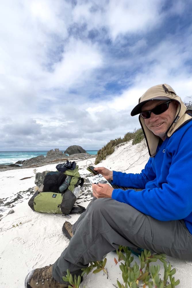
Seaweed snacks amongst the seaweed! These are around 570 kJ per 100g and the serving size is only about 4.5g, so the nutrition is negligible, but these snacks are high in salts, iodine and other minerals. Don’t try to repackage them into alternative, less bulky wrapping as the oil leaches out.

More rock. Not much further to go!

Wild weather on beaches can be tricky because you are so exposed but the seascapes and lighting are usually glorious. However, at the moment you would be hurrying to beat the storm as we are!

Back just in time! We get a few drops but the outstanding XMid 2 Pro is up in a flash and soon we are cosy inside.
It has been a terrific hike, one perfectly suited to slower hikers and with views, wildlife and wildflowers galore. 10/10.